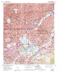
1966 Map of El Monte
USGS Topo · Published 1994About this map
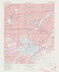
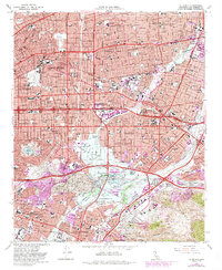
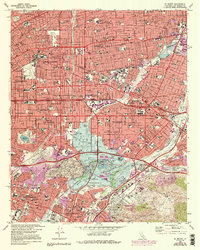
Mission San Gabriel anchors the historic landscape of the San Gabriel Valley during a period of rapid mid-century expansion. The map captures the suburban transformation of the 1960s, showing a dense network of residential streets and schools like Potrero Heights Sch and St Benedict Sch filling the spaces between established hubs. The hydrological management of the region is a central theme, evidenced by the expansive Whittier Narrows Recreation Area and the Whittier Narrows Dam which control the Rio Hondo and San Gabriel River. This infrastructure created the recreational landscape of Legg Lake, contrasting with the industrial and extraction zones of the Montebello Hills oil fields. To the south, the massive footprint of Rose Hills Memorial Park and the developing campus of Rio Hondo Jr College mark the transition into the Puente Hills.
Find a feature on this map
64 named features on this map. Tap any name to fly to it.
Don’t see what you’re looking for? This feature index may not catch every label — zoom into the map to look around manually.
Map Details
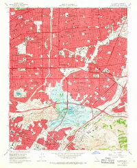
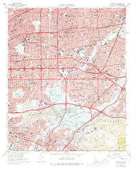
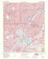
Editions of this 1966 El Monte Map
8 editions found

Other maps of this area

1894 · Los Angeles
USGS Topo · 1:62,500

1894 · Pomona
USGS Topo · 1:62,500

1896 · Pasadena
USGS Topo · 1:62,500

1896 · Anaheim
USGS Topo · 1:62,500

1896 · Downey
USGS Topo · 1:62,500

1897 · Pomona
USGS Topo · 1:62,500

1898 · Pomona
USGS Topo · 1:62,500

1898 · Anaheim
USGS Topo · 1:62,500

1899 · Downey
USGS Topo · 1:62,500

1900 · Pasadena
USGS Topo · 1:62,500