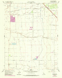
1960 Map of El Nido
USGS Topo · Published 1987About this map
The agricultural landscape of Merced County is defined by an intricate network of irrigation and drainage in this 1960 survey, updated with 1984 aerial data. The settlement of El Nido anchors the southern portion of the sheet, while the Southern Pacific railroad cuts across the northeast corner through the community of Lingard. Water management is the primary feature of this San Joaquin Valley terrain, evidenced by the El Nido Reservoir and a complex system of numbered laterals and named channels like the Givens-Lustre Canal and El Nido Canal. Natural watercourses such as Duck Slough, Mariposa Slough, and Deadman Creek meander across the grid-patterned fields. Family-named roads, including McNamara Road, Healy Road, and Rahilly Rd, provide a window into the local landownership of the mid-20th century. Notable land uses include several isolated landing strips and a cluster of Duck Ponds south of Dutchman Creek.
Find a feature on this map
42 named features on this map. Tap any name to fly to it.
Don’t see what you’re looking for? This feature index may not catch every label — zoom into the map to look around manually.
Map Details
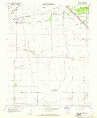
Editions of this 1960 El Nido Map
2 editions found
Other maps of this area

1914 · Merced
USGS Topo · 1:31,680

1916 · Santa Rita Bridge
USGS Topo · 1:24,000

1917 · Merced
USGS Topo · 1:31,680

1918 · Bliss Ranch
USGS Topo · 1:31,680

1918 · Lingard
USGS Topo · 1:31,680

1918 · Atwater
USGS Topo · 1:31,680

1918 · Chowchilla
USGS Topo · 1:31,680

1918 · Sandy Mush
USGS Topo · 1:31,680

1918 · Planada
USGS Topo · 1:31,680

1919 · Plainsberg
USGS Topo · 1:31,680