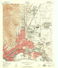
1955 Map of El Paso
USGS Topo · Published 1959About this map
The Fort Bliss Military Reservation and the sprawling Biggs Air Force Base dominate the northern and eastern reaches of this mid-1950s border landscape. The city of El Paso fans out from the base of the Franklin Mountains, with its urban core defined by a dense network of schools, parish churches like St Patricks Sch, and the historic Concordia Cemetery. Along the southern boundary, the Rio Grande serves as the international line with Mexico, curving around Cordova Island. The map illustrates a city in transition, where new residential developments like Cielo Vista and Aero Vista emerge near the El Paso International Airport, while the industrial and rail infrastructure of the Southern Pacific and Texas and Pacific railroads remains vital to the riverfront economy.
Find a feature on this map
87 named features on this map. Tap any name to fly to it.
Don’t see what you’re looking for? This feature index may not catch every label — zoom into the map to look around manually.
Map Details
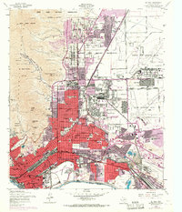
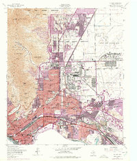
Editions of this 1955 El Paso Map
3 editions found
Other maps of this area

1896 · El Paso
USGS Topo · 1:125,000

1908 · El Paso
USGS Topo · 1:125,000

1917 · Canutillo
USGS Topo · 1:62,500

1919 · Canutillo
USGS Topo · 1:62,500

1939 · Ysleta
USGS Topo · 1:62,500

1941 · El Paso
USGS Topo · 1:31,680

1941 · Ysleta
USGS Topo · 1:62,500

1942 · Fort Bliss
USGS Topo · 1:62,500

1943 · El Paso
USGS Topo · 1:31,680

1945 · Ysleta
USGS Topo · 1:62,500