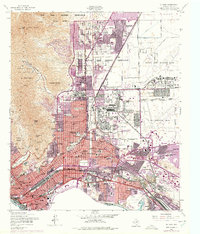
1955 Map of El Paso
USGS Topo · Published 1975About this map
The Franklin Mountains rise sharply above the expanding urban landscape of El Paso in this mid-century survey, which documents a city defined by its massive military presence and international border. Extensive portions of the quadrangle are dedicated to the Fort Bliss Military Reservation and Biggs Air Force Base, while newer residential developments like Sunrise Acres and Cielo Vista push eastward into the desert. The southern edge of the map follows the winding course of the Rio Grande and the United States Mexico boundary, including the Chamizal Convention Bdy. Educational and religious institutions are dense within the city core, from Loretto College and Radford Sch to the Cathedral High Sch, reflecting the community's established social fabric. Transportation networks, including the Southern Pacific and Texas and Pacific railroads, converge near the Courthouse and the historic Concordia Cemetery.
Find a feature on this map
87 named features on this map. Tap any name to fly to it.
Don’t see what you’re looking for? This feature index may not catch every label — zoom into the map to look around manually.
Map Details
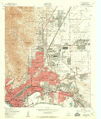
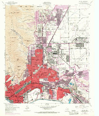
Editions of this 1955 El Paso Map
3 editions found
Other maps of this area

1896 · El Paso
USGS Topo · 1:125,000

1908 · El Paso
USGS Topo · 1:125,000

1917 · Canutillo
USGS Topo · 1:62,500

1919 · Canutillo
USGS Topo · 1:62,500

1939 · Ysleta
USGS Topo · 1:62,500

1941 · El Paso
USGS Topo · 1:31,680

1941 · Ysleta
USGS Topo · 1:62,500

1942 · Fort Bliss
USGS Topo · 1:62,500

1943 · El Paso
USGS Topo · 1:31,680

1945 · Ysleta
USGS Topo · 1:62,500