
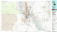
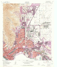
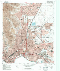
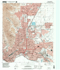
1983 Map of El Paso
USGS Topo · Published 1983This historical map portrays the area of El Paso in 1983, primarily covering El Paso as well as portions of New Mexico. Featuring a scale of 1:100000, this map provides a highly detailed snapshot of the terrain, roads, buildings, counties, and historical landmarks in the El Paso region at the time. Published in 1983, it is one of 2 known editions of this map due to revisions or reprints.
Find a feature on this map
76 named features on this map. Tap any name to fly to it.
Don’t see what you’re looking for? This feature index may not catch every label — zoom into the map to look around manually.
Map Details
Editions of this 1983 El Paso Map
2 editions found
Historical Maps of Algodon Colonia Through Time
13 maps found
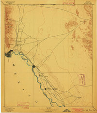
1896 El Paso
El Paso County, TX
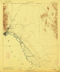
1908 El Paso
El Paso County, TX
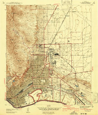
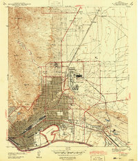
1941 El Paso
El Paso County, TX
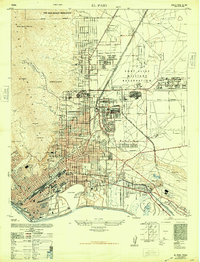
1943 El Paso
El Paso County, TX
1948 El Paso
El Paso County, TX

1953 El Paso
El Paso County, TX
1955 El Paso
El Paso County, TX
1959 El Paso
El Paso County, TX

1964 El Paso
El Paso County, TX

1965 El Paso
El Paso County, TX
1983 El Paso
El Paso County, TX
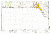
1994 El Paso
El Paso County, TX
1997 El Paso
El Paso County, TX