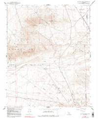
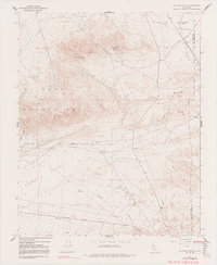
1967 Map of El Paso Peaks
USGS Topo · Published 1991About this map
El Paso Peaks and the high desert terrain of the El Paso Mountains dominate this 1967 survey of the Kern County landscape. This is a region defined by water scarcity and historical transit, where essential resources like Willow Spring Well and Haggin Well dictated the pattern of travel and settlement. The map traces the industrial and logistical connections of the era, from the mining-related infrastructure near Goler Heights to the specialized facilities at Garden City Station.
Find a feature on this map
23 named features on this map. Tap any name to fly to it.
Don’t see what you’re looking for? This feature index may not catch every label — zoom into the map to look around manually.
Map Details
Editions of this 1967 El Paso Peaks Map
5 editions found
Other maps of this area

1903 · Randsburg
USGS Topo · 1:62,500

1911 · Randsburg
USGS Topo · 1:62,500

1912 · Randsburg
USGS Topo · 1:62,500

1915 · Searles Lake
USGS Topo · 1:250,000

1943 · Inyokern
USGS Topo · 1:62,500

1943 · Saltdale
USGS Topo · 1:62,500

1947 · Trona
USGS Topo · 1:250,000

1948 · Trona
USGS Topo · 1:250,000

1953 · Ridgecrest
USGS Topo · 1:62,500

1953 · Trona
USGS Topo · 1:250,000