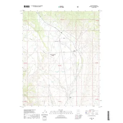
2020 Map of El Rito
USGS Topo · Published 2020About this map
El Rito serves as the primary settlement in this high-desert landscape of Rio Arriba County, where the village and nearby Las Placitas are situated along the perennial flow of the El Rito stream. Much of the surrounding area is managed by the Carson National Forest, characterized by numerous canyons and mesas. The map documents a significant network of water infrastructure critical for land management and ranching, including the Prairie Dog Trick Tank, Sage Tank, and Alamosa Number One Tank. Local landmarks such as Sierra Negra and Pinon Mesa define the local topography, while historic infrastructure is noted through the CCC Road and CCC Spring. This 2020 update provides a precise view of the rural roads, including Co Rd 280 and the Blue Earth Trl, that connect these remote New Mexican settlements to the high country.
Find a feature on this map
40 named features on this map. Tap any name to fly to it.
Don’t see what you’re looking for? This feature index may not catch every label — zoom into the map to look around manually.
Map Details
Editions of this 2020 El Rito Map
This is the sole edition of this map. No revisions or reprints were ever made.
Other maps of this area

1918 · Abiquiu
USGS Topo · 1:125,000

1953 · Abiquiu
USGS Topo · 1:24,000

1953 · Medanales
USGS Topo · 1:24,000

1953 · Valle Grande Peak
USGS Topo · 1:24,000

1953 · Lyden
USGS Topo · 1:24,000

1953 · Magote Peak
USGS Topo · 1:24,000

1953 · El Rito
USGS Topo · 1:24,000

1953 · La Madera
USGS Topo · 1:24,000

1953 · Ojo Caliente
USGS Topo · 1:24,000

1953 · Canjilon SE
USGS Topo · 1:24,000