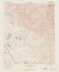
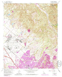
1968 Map of El Toro
USGS Topo · Published 1970About this map
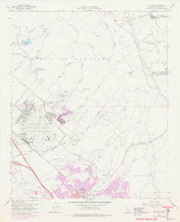
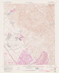
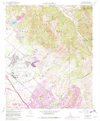
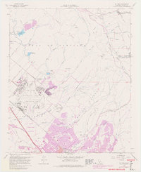
El Toro Marine Corps Air Station dominates the western landscape of this Orange County interior, featuring a detailed layout of runways, a Rifle Range, and the El Toro Marine Sch. The terrain transitions from these military and agricultural lowlands into the sharp ridges of Loma Ridge and the Cleveland National Forest. Evidence of the region’s development is seen in the path of the Atchison Topeka and Santa Fe railroad and the expanding network of the Santa Ana Freeway. To the east, the map captures the canyon settlements of Silverado and Modjeska, where the landscape is defined by Santiago Creek and Silverado Canyon. Local history is anchored by sites like Ascension Cem and the South Coast Agriculture Field Station, reflecting the area's mix of military presence, citrus-era agriculture, and rugged foothills.
Find a feature on this map
63 named features on this map. Tap any name to fly to it.
Don’t see what you’re looking for? This feature index may not catch every label — zoom into the map to look around manually.
Map Details
Editions of this 1968 El Toro Map
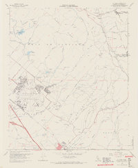
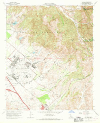
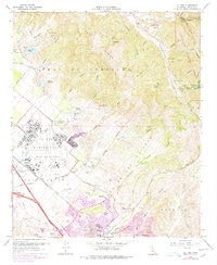
9 editions found
Other maps of this area

1896 · Santa Ana
USGS Topo · 1:62,500

1896 · Anaheim
USGS Topo · 1:62,500

1898 · Anaheim
USGS Topo · 1:62,500

1901 · Southern California Sheet No. 1
USGS Topo · 1:250,000

1901 · Santa Ana
USGS Topo · 1:62,500

1901 · Anaheim
USGS Topo · 1:62,500

1902 · Corona
USGS Topo · 1:125,000

1904 · Southern California Sheet No. 1
USGS Topo · 1:250,000

1932 · Orange
USGS Topo · 1:31,680

1932 · Tustin
USGS Topo · 1:31,680