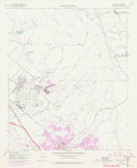
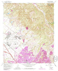
1968 Map of El Toro
USGS Topo · Published 1978About this map
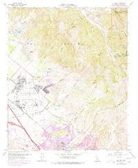
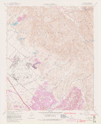
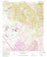
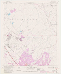
El Toro Marine Corps Air Station dominates the central landscape of this late-1960s survey, surrounded by the shifting land use of mid-century Orange County. The map documents the expansion of suburban and military infrastructure against a backdrop of older rural life, visible in the orchards and the presence of the South Coast Agriculture Field Station. To the northeast, the terrain rises into the Lomas de Santiago and the Cleveland National Forest, where canyon settlements like Silverado and Modjeska mark the canyons of the Santa Ana Mountains. The transition from agricultural to industrial and residential use is signaled by the International Raceway and the development near the Atchison Topeka and Santa Fe railroad, while local history is preserved at the Ascension Cem and El Toro Cem.
Find a feature on this map
68 named features on this map. Tap any name to fly to it.
Don’t see what you’re looking for? This feature index may not catch every label — zoom into the map to look around manually.
Map Details
Editions of this 1968 El Toro Map
9 editions found
Other maps of this area

1896 · Santa Ana
USGS Topo · 1:62,500

1896 · Anaheim
USGS Topo · 1:62,500

1898 · Anaheim
USGS Topo · 1:62,500

1901 · Southern California Sheet No. 1
USGS Topo · 1:250,000

1901 · Santa Ana
USGS Topo · 1:62,500

1901 · Anaheim
USGS Topo · 1:62,500

1902 · Corona
USGS Topo · 1:125,000

1904 · Southern California Sheet No. 1
USGS Topo · 1:250,000

1932 · Orange
USGS Topo · 1:31,680

1932 · Tustin
USGS Topo · 1:31,680