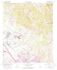
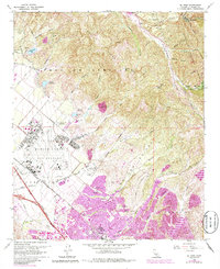
1968 Map of El Toro
USGS Topo · Published 1978About this map
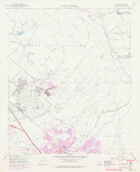
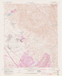
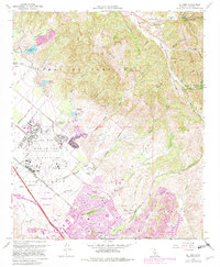
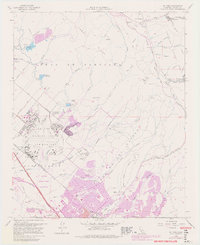
The sprawling operations of the El Toro Marine Corps Air Station dominate the central landscape of this 1968 study, showing the military installation’s extensive runways and infrastructure alongside the Atchison Topeka and Santa Fe railroad. To the east, the terrain rises into the canyons and ridges of the Cleveland National Forest, where the settlement of Modjeska and the Bolero Lookout watch over the foothills.
Find a feature on this map
58 named features on this map. Tap any name to fly to it.
Don’t see what you’re looking for? This feature index may not catch every label — zoom into the map to look around manually.
Map Details
Editions of this 1968 El Toro Map
9 editions found
Other maps of this area

1896 · Santa Ana
USGS Topo · 1:62,500

1896 · Anaheim
USGS Topo · 1:62,500

1898 · Anaheim
USGS Topo · 1:62,500

1901 · Southern California Sheet No. 1
USGS Topo · 1:250,000

1901 · Santa Ana
USGS Topo · 1:62,500

1901 · Anaheim
USGS Topo · 1:62,500

1902 · Corona
USGS Topo · 1:125,000

1904 · Southern California Sheet No. 1
USGS Topo · 1:250,000

1932 · Orange
USGS Topo · 1:31,680

1932 · Tustin
USGS Topo · 1:31,680