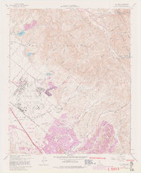
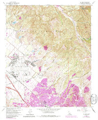
1968 Map of El Toro
USGS Topo · Published 1982About this map
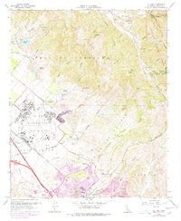
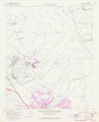
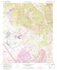
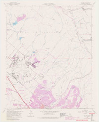
El Toro Marine Corps Air Station dominates the central landscape of this Orange County survey, illustrating the significant military footprint in the region during the late 1960s. The map captures a moment of transition as the Irvine Corporate Boundary begins to edge toward the sprawling air base and the agricultural grounds of the South Coast Agriculture Field Station (Univ of Calif). Purple revision tints highlight the rapid suburban expansion pressing against the Lomas de Santiago and the rugged Loma Ridge.
Find a feature on this map
60 named features on this map. Tap any name to fly to it.
Don’t see what you’re looking for? This feature index may not catch every label — zoom into the map to look around manually.
Map Details
Editions of this 1968 El Toro Map
9 editions found
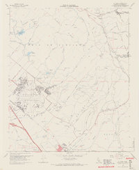
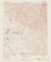
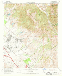
Other maps of this area

1896 · Santa Ana
USGS Topo · 1:62,500

1896 · Anaheim
USGS Topo · 1:62,500

1898 · Anaheim
USGS Topo · 1:62,500

1901 · Southern California Sheet No. 1
USGS Topo · 1:250,000

1901 · Santa Ana
USGS Topo · 1:62,500

1901 · Anaheim
USGS Topo · 1:62,500

1902 · Corona
USGS Topo · 1:125,000

1904 · Southern California Sheet No. 1
USGS Topo · 1:250,000

1932 · Orange
USGS Topo · 1:31,680

1932 · Tustin
USGS Topo · 1:31,680