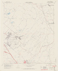
1968 Map of El Toro
USGS Topo · Published 1970About this map
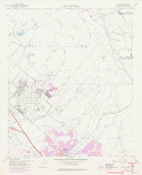
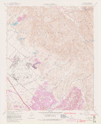
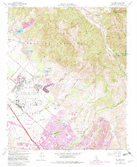
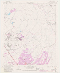
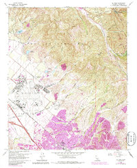
El Toro Marine Corps Air Station dominates the central landscape of this late-1960s survey, illustrating the significant military footprint in Orange County during the era. Surrounding the airfield, the map captures a period of transition as agricultural land, such as the South Coast Agriculture Field Station (Univ of Calif), sits adjacent to growing infrastructure like the Santa Ana Freeway and the Atchison Topeka and Santa Fe railroad. To the northeast, the terrain rises into the Cleveland National Forest, where smaller settlements like Silverado and Modjeska are tucked into the canyons. Genealogists and local historians can locate early burial sites at Ascension Cem and El Toro Cem, while the inclusion of the International Raceway and the Bolero Lookout Radio Facility highlights the diverse recreational and technical development of the region at this time.
Find a feature on this map
62 named features on this map. Tap any name to fly to it.
Don’t see what you’re looking for? This feature index may not catch every label — zoom into the map to look around manually.
Map Details
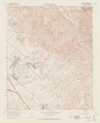
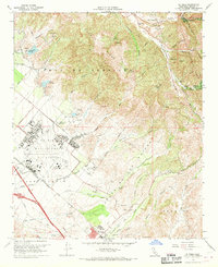
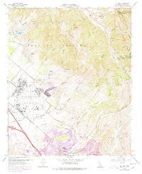
Editions of this 1968 El Toro Map
9 editions found
Other maps of this area

1896 · Santa Ana
USGS Topo · 1:62,500

1896 · Anaheim
USGS Topo · 1:62,500

1898 · Anaheim
USGS Topo · 1:62,500

1901 · Southern California Sheet No. 1
USGS Topo · 1:250,000

1901 · Santa Ana
USGS Topo · 1:62,500

1901 · Anaheim
USGS Topo · 1:62,500

1902 · Corona
USGS Topo · 1:125,000

1904 · Southern California Sheet No. 1
USGS Topo · 1:250,000

1932 · Orange
USGS Topo · 1:31,680

1932 · Tustin
USGS Topo · 1:31,680