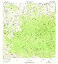
1967 Map of El Yunque
USGS Topo · Published 1969About this map
Caribbean National Forest dominates this mid-century survey of the Luquillo Mountains, centered on the high-elevation peaks of El Yunque. The terrain transitions from the densely forested interior to the rural Barrios of Guzman Abajo and Zarzal in the north. Settlement is concentrated along the northern roads, particularly near Mameyes (Palmer PO) and Fortuna. A network of schools serves the mountain communities, including Escuela Segunda Unidad Casiana Cepeda and Escuela Santiago Medina.
Find a feature on this map
97 named features on this map. Tap any name to fly to it.
Don’t see what you’re looking for? This feature index may not catch every label — zoom into the map to look around manually.
Map Details
Editions of this 1967 El Yunque Map
4 editions found
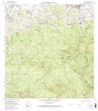
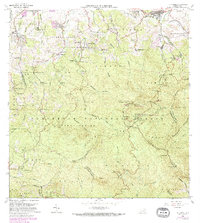
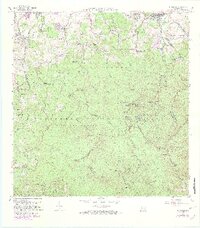
Other maps of this area

1940 · Carolina
USGS Topo · 1:30,000

1941 · Rio Grande
USGS Topo · 1:30,000

1941 · Carolina
USGS Topo · 1:30,000

1945 · El Yunque
USGS Topo · 1:30,000

1946 · El Yunque
USGS Topo · 1:30,000

1946 · Humacao
USGS Topo · 1:30,000

1946 · Gurabo
USGS Topo · 1:30,000

1946 · Juncos
USGS Topo · 1:30,000

1946 · Naguabo
USGS Topo · 1:30,000

1946 · Fajardo
USGS Topo · 1:30,000
Featured Places
- Hacienda Jordán, Río Grande
- Colinas Tres T, Río Grande
- Palma Sola, Canóvanas
- Comunidad La Vega, Río Grande
- Sector Rosado, Las Piedras