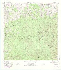
1967 Map of El Yunque
USGS Topo · Published 1982About this map
Caribbean National Forest dominates this topographic study, encompassing the high peaks of the Sierra de Luquillo. The landscape is defined by its dramatic verticality, rising from the northern coastal plains near Fortuna and Mameyes (Palmer PO) to the summits of Pico El Yunque, Los Picachos, and El Toro. Numerous waterways, including the Rio Espiritu Santo and Rio Mameyes, drain these mountains, punctuated by landmarks such as Catarata Coca and Catarata de la Mina.
Find a feature on this map
93 named features on this map. Tap any name to fly to it.
Don’t see what you’re looking for? This feature index may not catch every label — zoom into the map to look around manually.
Map Details
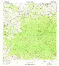
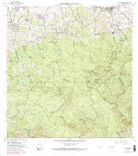
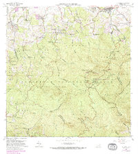
Editions of this 1967 El Yunque Map
4 editions found
Other maps of this area

1940 · Carolina
USGS Topo · 1:30,000

1941 · Rio Grande
USGS Topo · 1:30,000

1941 · Carolina
USGS Topo · 1:30,000

1945 · El Yunque
USGS Topo · 1:30,000

1946 · El Yunque
USGS Topo · 1:30,000

1946 · Humacao
USGS Topo · 1:30,000

1946 · Gurabo
USGS Topo · 1:30,000

1946 · Juncos
USGS Topo · 1:30,000

1946 · Naguabo
USGS Topo · 1:30,000

1946 · Fajardo
USGS Topo · 1:30,000
Featured Places
- Palma Sola, Canóvanas
- Hacienda Jordán, Río Grande
- Colinas Tres T, Río Grande
- Comunidad La Vega, Río Grande
- Mabí, Río Grande