
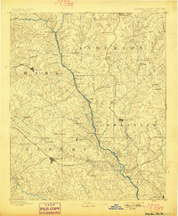
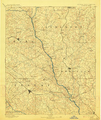
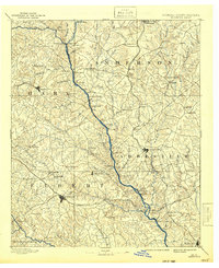
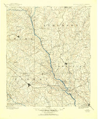
1893 Map of Elberton
USGS Topo · Published 1893About this map
Elberton and Hartwell anchor this late nineteenth-century landscape where the Savannah River forms the state line between Georgia and South Carolina. The river corridor is defined by its vital river-crossing economy, featuring numerous named islands such as Greens Island and Derritt Island, alongside essential transport points like Browns Ferry, Craft Ferry, and Bowman Ferry. This survey documents a transition in regional transport as the Savannah Valley Railroad serves the eastern bank in South Carolina, while traditional milling operations like Craft Mill and Adams Mill remain active along the tributaries.
Find a feature on this map
109 named features on this map. Tap any name to fly to it.
Don’t see what you’re looking for? This feature index may not catch every label — zoom into the map to look around manually.
Map Details
Editions of this 1893 Elberton Map
5 editions found
Other maps of this area

1886 · Walhalla
USGS Topo · 1:125,000

1888 · Pickens
USGS Topo · 1:125,000

1891 · Carnesville
USGS Topo · 1:125,000

1892 · Mc Cormick
USGS Topo · 1:125,000

1892 · Walhalla
USGS Topo · 1:125,000

1892 · Abbeville
USGS Topo · 1:125,000

1894 · Pickens
USGS Topo · 1:125,000

1896 · Walhalla
USGS Topo · 1:125,000

1906 · Crawfordville
USGS Topo · 1:125,000

1912 · Mc Cormick
USGS Topo · 1:125,000