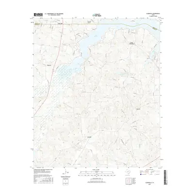
2016 Map of Elderville
USGS Topo · Published 2016About this map
Lake Cherokee dominates the northeastern landscape of this quadrangle, its branching coves defining the residential and recreational character of the Gregg and Rusk county line. The shoreline is densely threaded with local access routes like Cherokee Trl and Lee Creek Trl, serving established communities such as Elderville and Monroe. To the southwest, the terrain transitions into a complex drainage network characterized by the Beaver Marsh and the slow-moving waters of Bacon Cr and Tiawichi Cr.
Find a feature on this map
75 named features on this map. Tap any name to fly to it.
Don’t see what you’re looking for? This feature index may not catch every label — zoom into the map to look around manually.
Map Details
Editions of this 2016 Elderville Map
This is the sole edition of this map. No revisions or reprints were ever made.
Other maps of this area
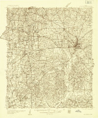
1935 · Henderson
USGS Topo · 1:48,000
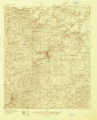
1936 · Kilgore
USGS Topo · 1:48,000
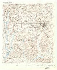
1939 · Henderson
USGS Topo · 1:62,500
1940 · Kilgore
USGS Topo · 1:62,500

1956 · Tyler
USGS Topo · 1:250,000
1958 · Tatum
USGS Topo · 1:62,500
1960 · Minden
USGS Topo · 1:62,500
1971 · Kilgore NE
USGS Topo · 1:24,000
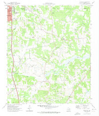
1971 · Kilgore SE
USGS Topo · 1:24,000
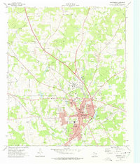
1973 · Henderson
USGS Topo · 1:24,000