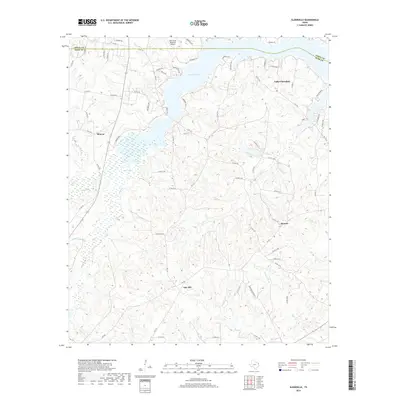
2019 Map of Elderville
USGS Topo · Published 2019About this map
Lake Cherokee dominates the northern landscape of this East Texas terrain, straddling the border between Gregg and Rusk counties. The water system is particularly intricate here, with the sprawling Beaver Marsh and a network of named drainages like Mill Creek, Boggy Creek, and Bacon Creek feeding the local hydrology. These wetlands and creeks define the rural character of the area, where small settlements such as Monroe, Oak Hill, and Stewart are connected by a web of county roads and farm-to-market routes.
Find a feature on this map
74 named features on this map. Tap any name to fly to it.
Don’t see what you’re looking for? This feature index may not catch every label — zoom into the map to look around manually.
Map Details
Editions of this 2019 Elderville Map
This is the sole edition of this map. No revisions or reprints were ever made.
Other maps of this area
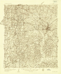
1935 · Henderson
USGS Topo · 1:48,000
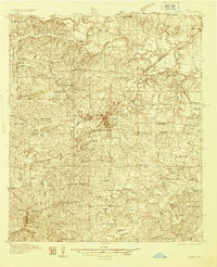
1936 · Kilgore
USGS Topo · 1:48,000
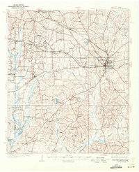
1939 · Henderson
USGS Topo · 1:62,500
1940 · Kilgore
USGS Topo · 1:62,500

1956 · Tyler
USGS Topo · 1:250,000
1958 · Tatum
USGS Topo · 1:62,500
1960 · Minden
USGS Topo · 1:62,500
1971 · Kilgore NE
USGS Topo · 1:24,000
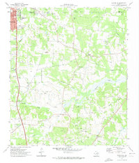
1971 · Kilgore SE
USGS Topo · 1:24,000
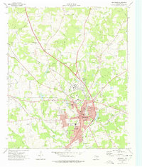
1973 · Henderson
USGS Topo · 1:24,000