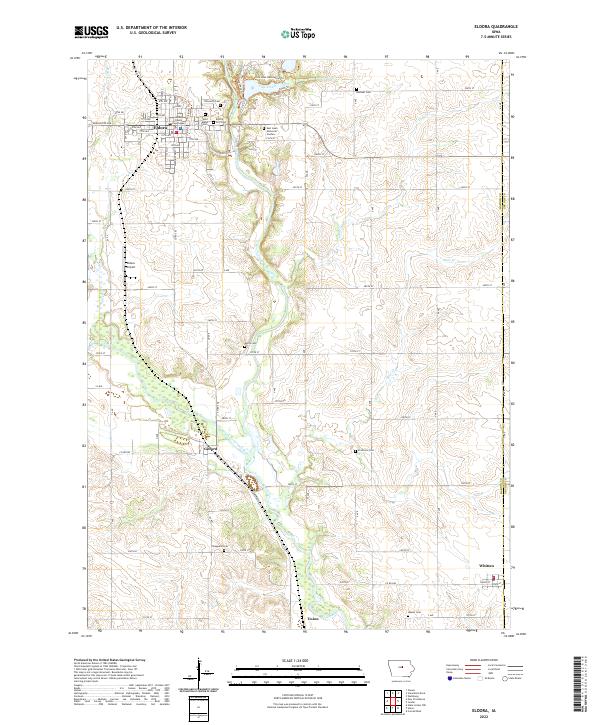
2022 Map of Eldora
USGS Topo · Published 2022About this map
The Hardin County Courthouse stands as the central landmark of Eldora, where the city street grid meets the winding course of the Iowa River. This survey captures the transition from the concentrated residential blocks of the county seat to the expansive agricultural landscape of southern Hardin County. Significant for genealogists and local historians, the area is dotted with numerous rural burial grounds, including the Saint Marys Cem, Ellsworth Cem, and the more remote Francisco Cem.
Find a feature on this map
67 named features on this map. Tap any name to fly to it.
Don’t see what you’re looking for? This feature index may not catch every label — zoom into the map to look around manually.
Map Details
Editions of this 2022 Eldora Map
This is the sole edition of this map. No revisions or reprints were ever made.
Other maps of this area

1954 · Waterloo
USGS Topo · 1:250,000

1955 · Waterloo
USGS Topo · 1:250,000

1960 · Marshalltown
USGS Topo · 1:62,500

1960 · Conrad West
USGS Topo · 1:24,000

1975 · State Center NW
USGS Topo · 1:24,000

1975 · Union
USGS Topo · 1:24,000

1979 · Steamboat Rock
USGS Topo · 1:24,000

1979 · New Providence
USGS Topo · 1:24,000

1979 · Eldora
USGS Topo · 1:24,000
1979 · Owasa
USGS Topo · 1:24,000