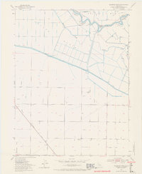
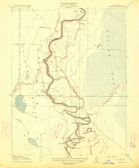
1952 Map of Eldorado Bend
USGS Topo · Published 1968About this map
The Sacramento River meanders through the heart of this agricultural landscape, defining the border between Sutter and Yolo counties at Missouri Bend and Eldorado Bend. This mid-century survey reveals a sophisticated water management system designed for the low-lying Colusa Basin, featuring the prominent Colusa Basin Drainage Canal and the West Side Canal. These industrial waterways transformed the basin floor, allowing for the expansion of large ranching operations like that seen at State Ranch Bend.
Find a feature on this map
15 named features on this map. Tap any name to fly to it.
Don’t see what you’re looking for? This feature index may not catch every label — zoom into the map to look around manually.
Map Details
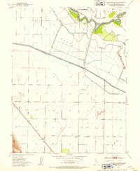
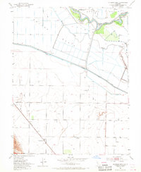
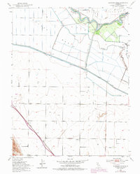
Editions of this 1952 Eldorado Bend Map
4 editions found
Other maps of this area

1907 · Dunnigan
USGS Topo · 1:62,500

1907 · Woodland
USGS Topo · 1:62,500

1907 · Davisville
USGS Topo · 1:62,500

1910 · Knights Landing
USGS Topo · 1:31,680

1910 · Marcuse
USGS Topo · 1:31,680

1915 · Yolo
USGS Topo · 1:31,680

1915 · Ronda
USGS Topo · 1:31,680
1915 · Kirkville
USGS Topo · 1:31,680

1916 · Grays Bend
USGS Topo · 1:31,680

1916 · Jacobs Corner
USGS Topo · 1:31,680