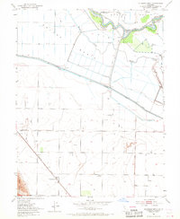
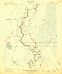
1952 Map of Eldorado Bend
USGS Topo · Published 1968About this map
The Sacramento River meanders through this agricultural landscape at the junction of Yolo, Sutter, and Colusa counties, defining the boundary at Eldorado Bend and Missouri Bend. This early 1950s survey captures a complex water-management network essential to the Central Valley, dominated by the Colusa Basin Drainage Canal, Sycamore Slough, and the West Side Canal. These features highlight the era's intensive reclamation efforts within the Colusa Basin to support large-scale ranching and farming operations like State Ranch Bend.
Find a feature on this map
19 named features on this map. Tap any name to fly to it.
Don’t see what you’re looking for? This feature index may not catch every label — zoom into the map to look around manually.
Map Details
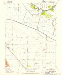
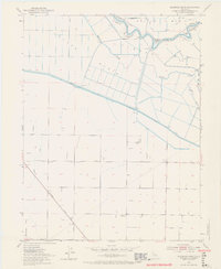
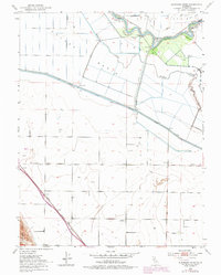
Editions of this 1952 Eldorado Bend Map
4 editions found
Other maps of this area

1907 · Dunnigan
USGS Topo · 1:62,500

1907 · Woodland
USGS Topo · 1:62,500

1907 · Davisville
USGS Topo · 1:62,500

1910 · Knights Landing
USGS Topo · 1:31,680

1910 · Marcuse
USGS Topo · 1:31,680

1915 · Yolo
USGS Topo · 1:31,680

1915 · Ronda
USGS Topo · 1:31,680
1915 · Kirkville
USGS Topo · 1:31,680

1916 · Grays Bend
USGS Topo · 1:31,680

1916 · Jacobs Corner
USGS Topo · 1:31,680