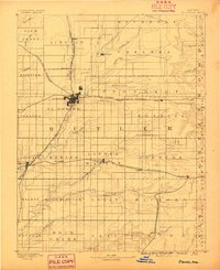
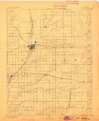
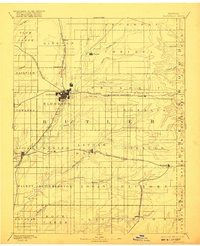
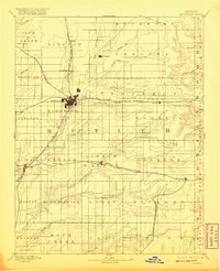
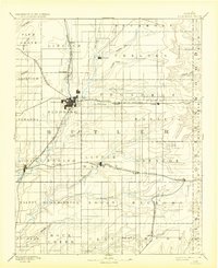
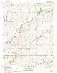
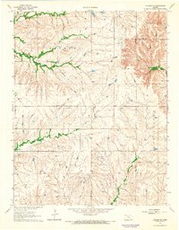
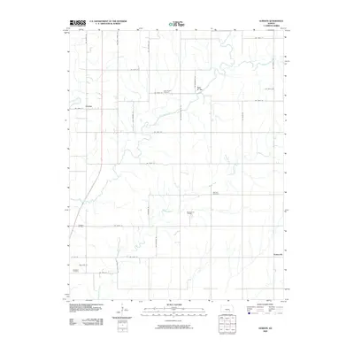
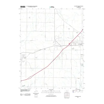
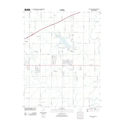
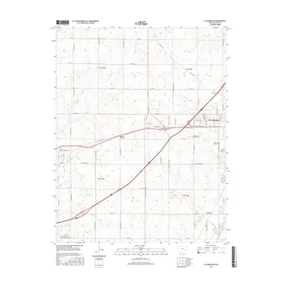
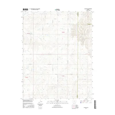
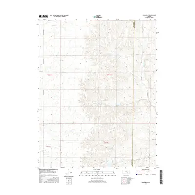
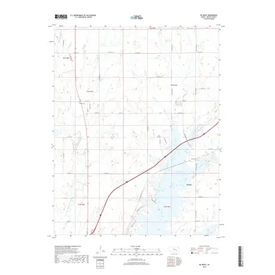
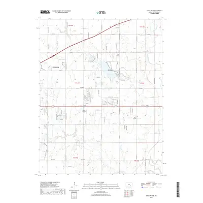
1888 Map of Eldorado
USGS Topo · Published 1895About this map
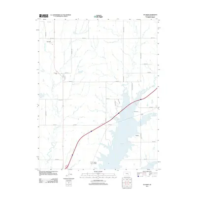
El Dorado serves as the central hub of this 1880s survey of Butler County, appearing during a period of rapid westward railroad expansion. The map reveals a complex grid of townships and a burgeoning rail network that fundamentally shaped the local landscape. No fewer than six distinct lines, including the Union Pacific Railroad and the St Louis and San Francisco Railroad, bisect the prairie, connecting established towns like Augusta and Leon to the broader regional economy.
Find a feature on this map
57 named features on this map. Tap any name to fly to it.
Don’t see what you’re looking for? This feature index may not catch every label — zoom into the map to look around manually.
Map Details
Editions of this 1888 Eldorado Map
6 editions found

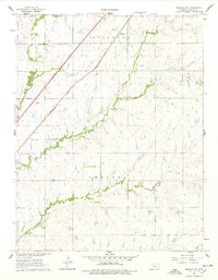
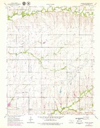
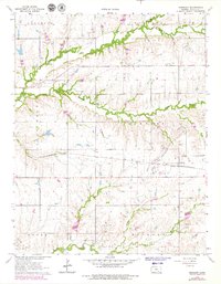
Historical Maps of El Dorado Through Time
85 maps found
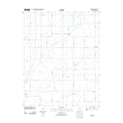
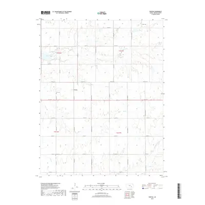
1888 Eldorado
Butler County, KS
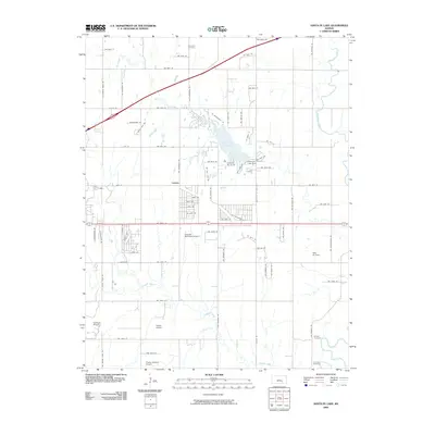
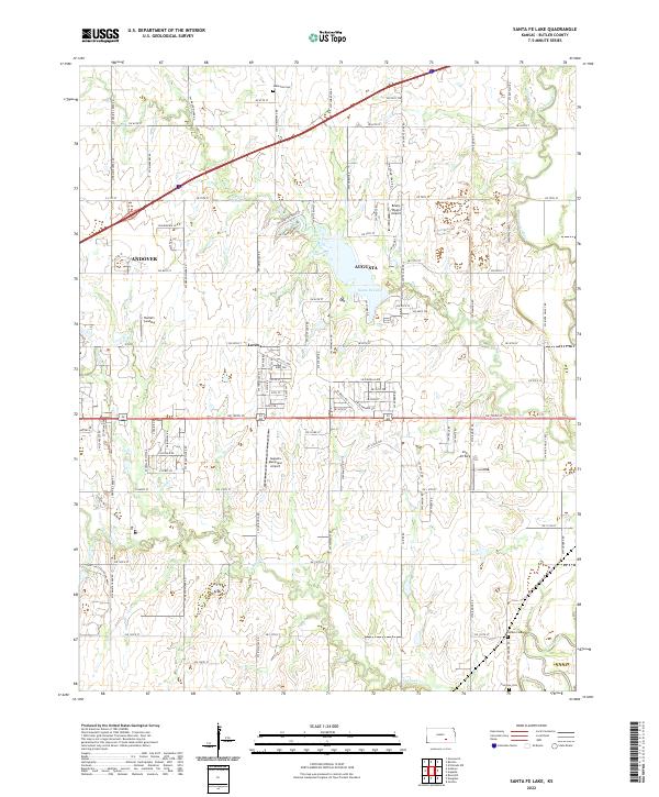
1955 Santa Fe Lake
Butler County, KS
1961 De Graff
Butler County, KS
1961 El Dorado NW
Butler County, KS

1961 El Dorado SW
Butler County, KS
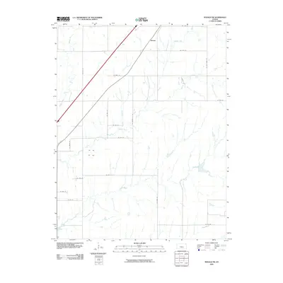
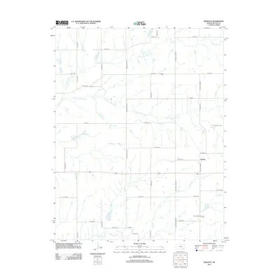
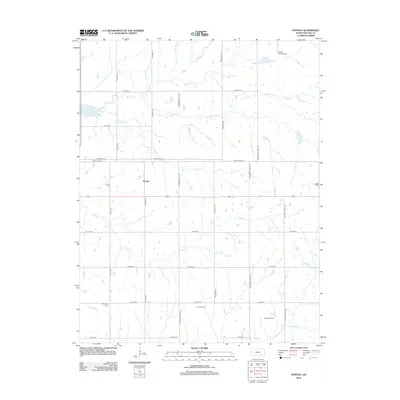
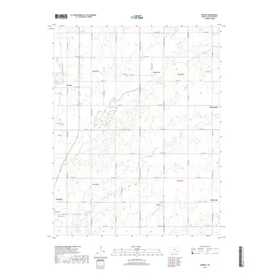
1961 Gordon
Butler County, KS

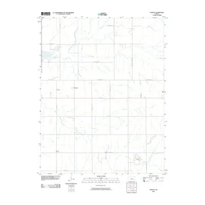
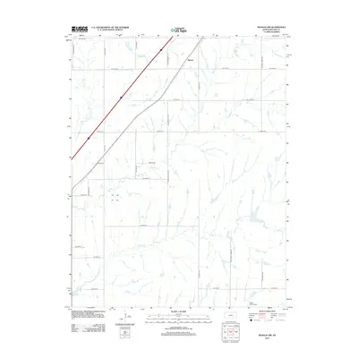
1961 Pontiac
Butler County, KS

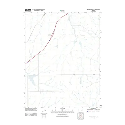
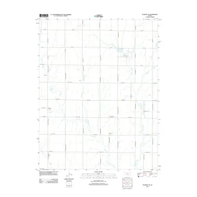
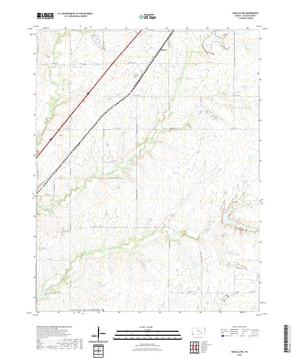
1961 Rosalia NE
Butler County, KS
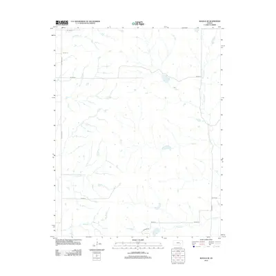
1961 Rosalia NW
Butler County, KS

1962 Florence SE
Butler County, KS

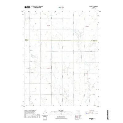
1962 Peabody SE
Butler County, KS
1964 Augusta SE
Butler County, KS
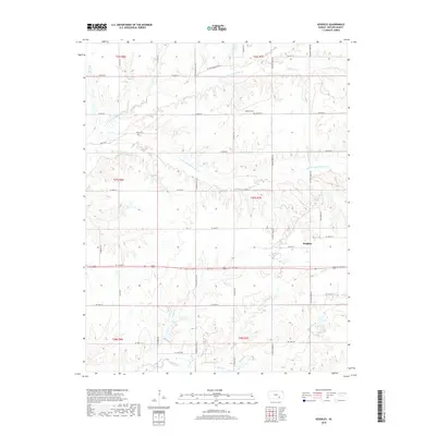
1964 Keighley
Butler County, KS
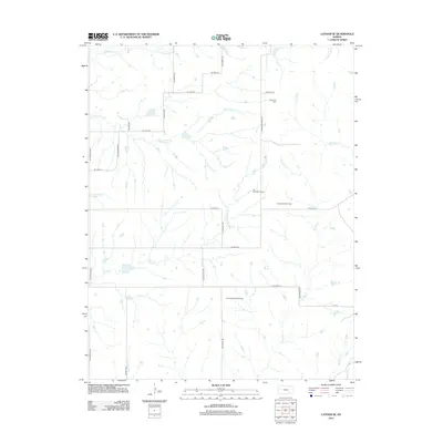
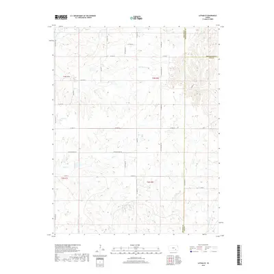
1964 Latham SE
Butler County, KS

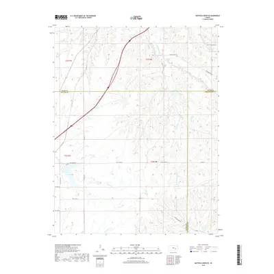
1967 Matfield Green SE
Butler County, KS
2009 Augusta SE
Butler County, KS
2009 El Dorado NW
Butler County, KS
2009 Florence SE
Butler County, KS
2009 Gordon
Butler County, KS
2009 Latham SE
Butler County, KS
2009 Matfield Green SE
Butler County, KS
2009 Peabody SE
Butler County, KS
2009 Pontiac
Butler County, KS
2009 Rosalia NW
Butler County, KS
2009 Santa Fe Lake
Butler County, KS
2010 De Graff
Butler County, KS
2010 El Dorado SW
Butler County, KS
2010 Keighley
Butler County, KS
2010 Rosalia NE
Butler County, KS
2012 Augusta SE
Butler County, KS
2012 De Graff
Butler County, KS
2012 El Dorado NW
Butler County, KS
2012 El Dorado SW
Butler County, KS
2012 Florence SE
Butler County, KS
2012 Gordon
Butler County, KS
2012 Keighley
Butler County, KS
2012 Latham SE
Butler County, KS
2012 Matfield Green SE
Butler County, KS
2012 Peabody SE
Butler County, KS
2012 Pontiac
Butler County, KS
2012 Rosalia NE
Butler County, KS
2012 Rosalia NW
Butler County, KS
2012 Santa Fe Lake
Butler County, KS
2015 Augusta SE
Butler County, KS
2015 De Graff
Butler County, KS
2015 El Dorado NW
Butler County, KS
2015 El Dorado SW
Butler County, KS
2015 Florence SE
Butler County, KS
2015 Gordon
Butler County, KS
2015 Keighley
Butler County, KS
2015 Latham SE
Butler County, KS
2015 Matfield Green SE
Butler County, KS
2015 Peabody SE
Butler County, KS
2015 Pontiac
Butler County, KS
2015 Rosalia NE
Butler County, KS
2015 Rosalia NW
Butler County, KS
2015 Santa Fe Lake
Butler County, KS
2018 Augusta SE
Butler County, KS
2018 De Graff
Butler County, KS
2018 El Dorado NW
Butler County, KS
2018 El Dorado SW
Butler County, KS
2018 Florence SE
Butler County, KS
2018 Gordon
Butler County, KS
2018 Keighley
Butler County, KS
2018 Latham SE
Butler County, KS
2018 Matfield Green SE
Butler County, KS
2018 Peabody SE
Butler County, KS
2018 Pontiac
Butler County, KS
2018 Rosalia NE
Butler County, KS
2018 Rosalia NW
Butler County, KS
2018 Santa Fe Lake
Butler County, KS
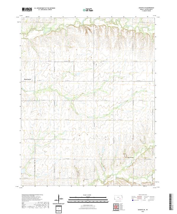
2022 Augusta SE
Butler County, KS
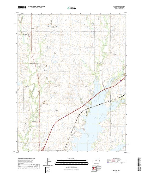
2022 De Graff
Butler County, KS
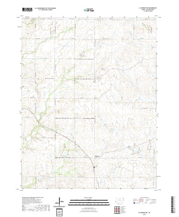
2022 El Dorado NW
Butler County, KS
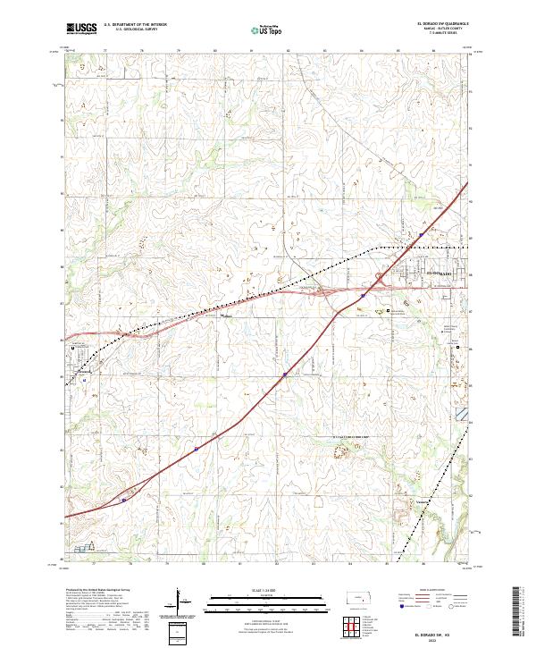
2022 El Dorado SW
Butler County, KS
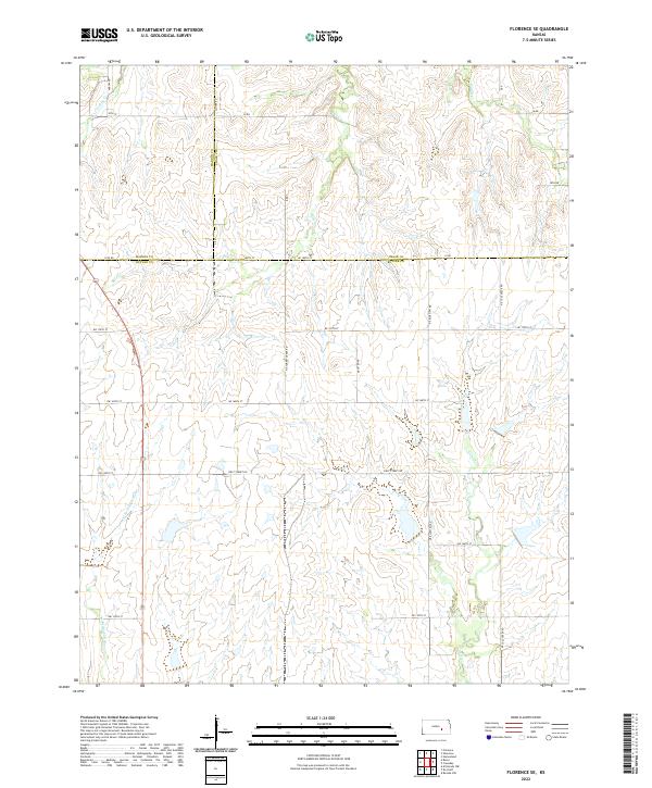
2022 Florence SE
Butler County, KS
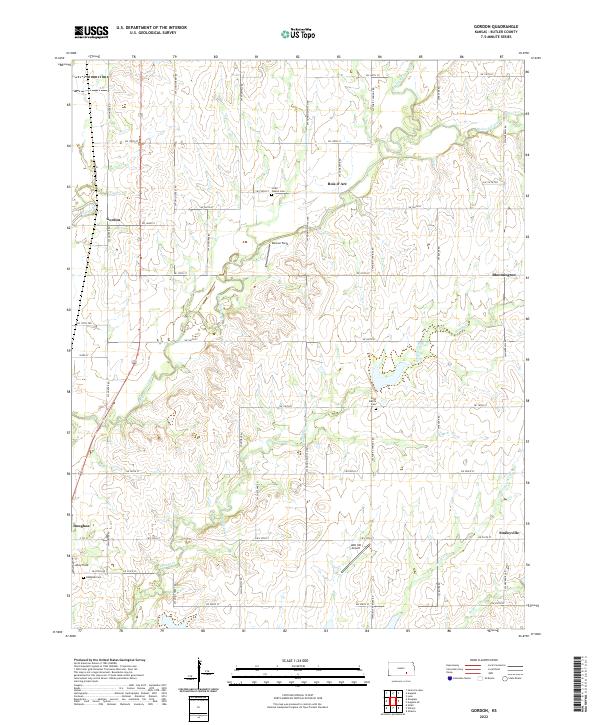
2022 Gordon
Butler County, KS
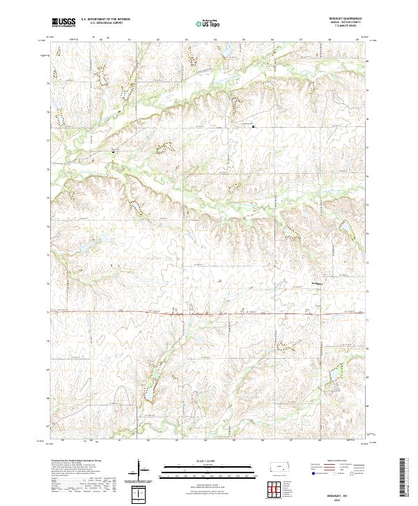
2022 Keighley
Butler County, KS
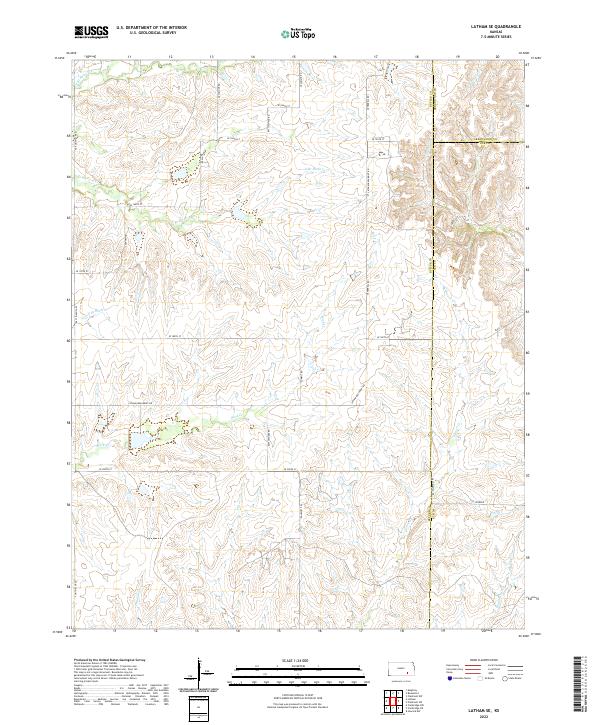
2022 Latham SE
Butler County, KS
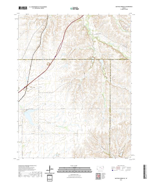
2022 Matfield Green SE
Butler County, KS

2022 Peabody SE
Butler County, KS
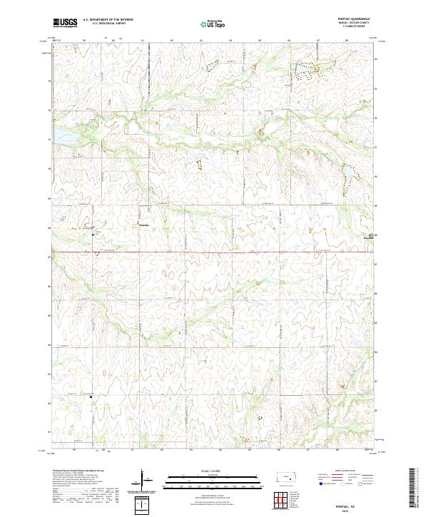
2022 Pontiac
Butler County, KS
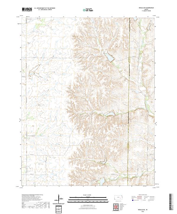
2022 Rosalia NE
Butler County, KS
2022 Rosalia NW
Butler County, KS
2022 Santa Fe Lake
Butler County, KS