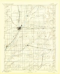
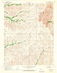
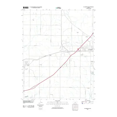
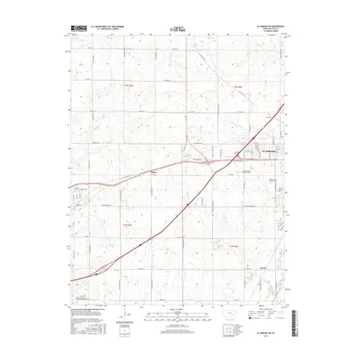
1888 Map of Eldorado
USGS Topo · Published 1901About this map
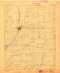
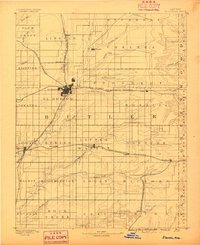
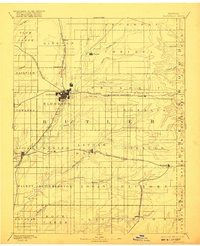
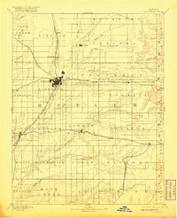
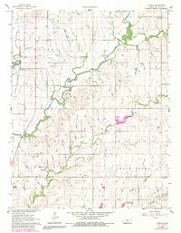
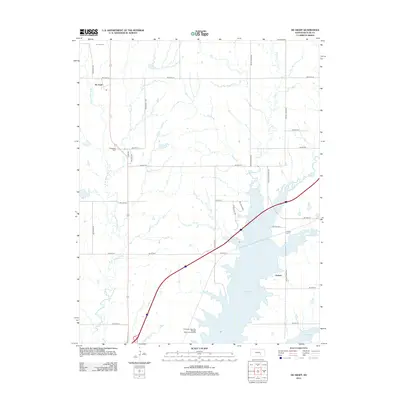
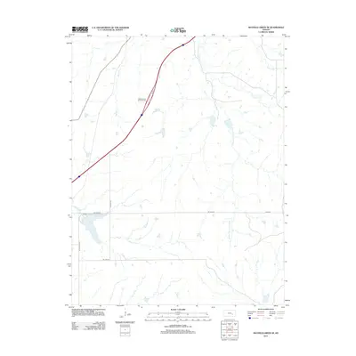
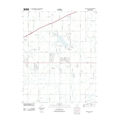
Butler County in the mid-1880s is revealed as a burgeoning hub of railway expansion and agricultural settlement. The city of Eldorado serves as a central junction, where the Atchison Topeka and Santa Fe Railroad and the St Louis Ft Scott and Wichita Railroad converge, illustrating the town's importance to Kansas commerce. This survey by E.T. Perkins Jr. captures the landscape before many modern developments, showing early prairie settlements like Chelsea, Leon, and Rosalia interspersed with a dense network of watercourses including Little Walnut Creek and Satchel Creek. The southern portion of the map highlights the St Louis and San Francisco Railroad passing through Keighley and Beaumont, while the presence of the Kansas City and South Western Railroad near Latham indicates the rapid diversification of transport routes in the region.
Find a feature on this map
59 named features on this map. Tap any name to fly to it.
Don’t see what you’re looking for? This feature index may not catch every label — zoom into the map to look around manually.
Map Details
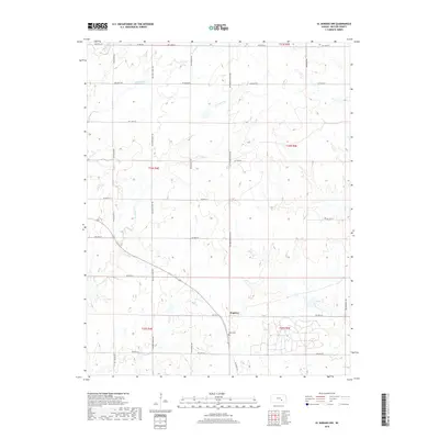
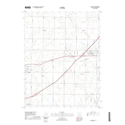
Editions of this 1888 Eldorado Map
6 editions found

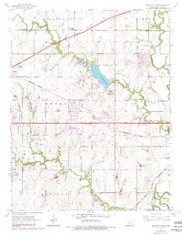
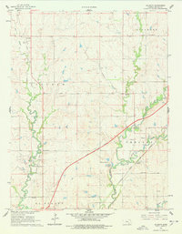
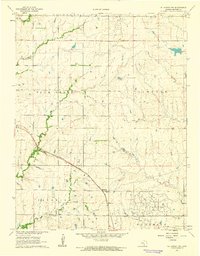
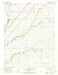
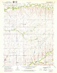
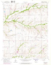
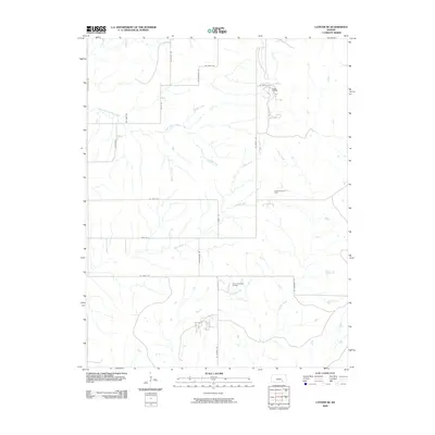
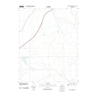
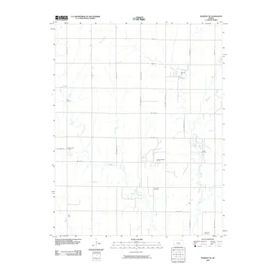
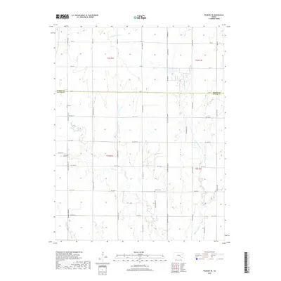
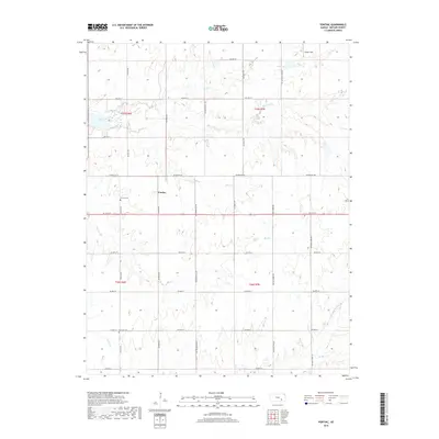
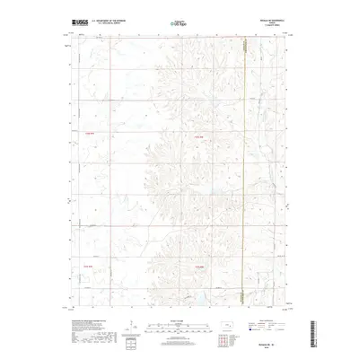
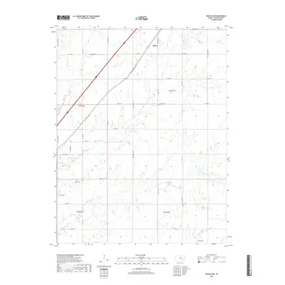
Historical Maps of El Dorado Through Time
85 maps found
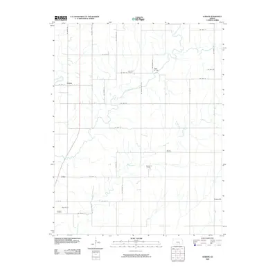
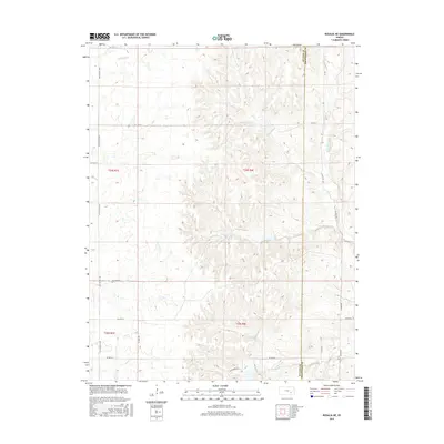
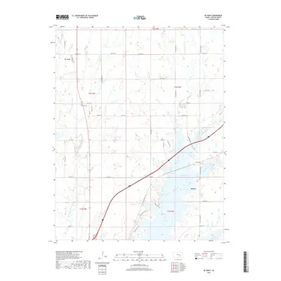
1888 Eldorado
Butler County, KS
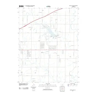
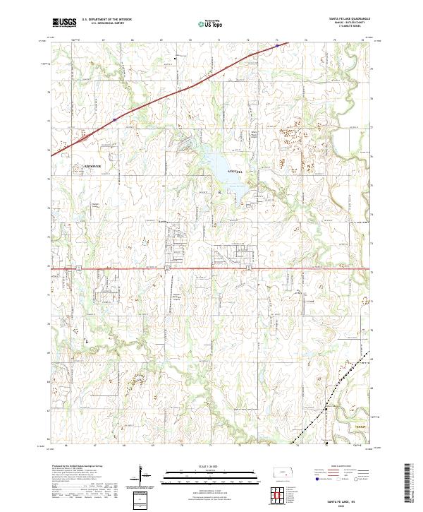
1955 Santa Fe Lake
Butler County, KS
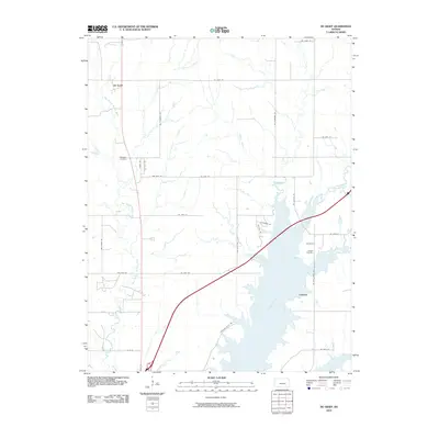
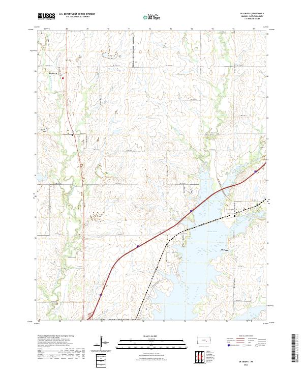
1961 De Graff
Butler County, KS
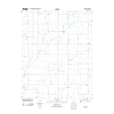
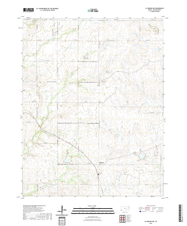
1961 El Dorado NW
Butler County, KS

1961 El Dorado SW
Butler County, KS
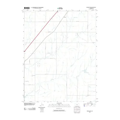
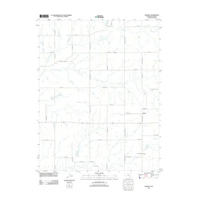
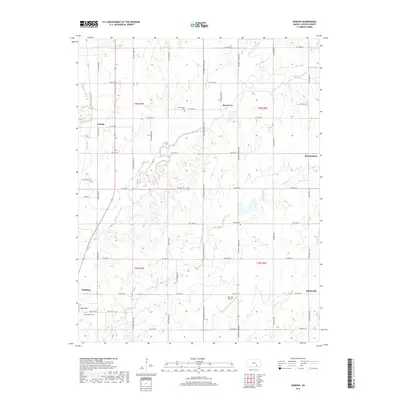
1961 Gordon
Butler County, KS

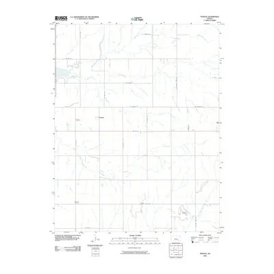
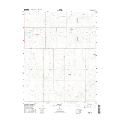
1961 Pontiac
Butler County, KS

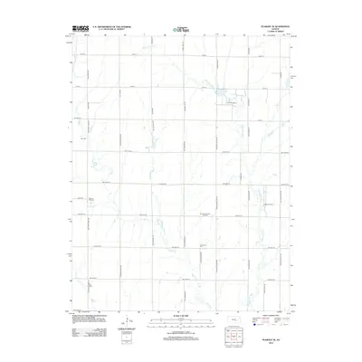
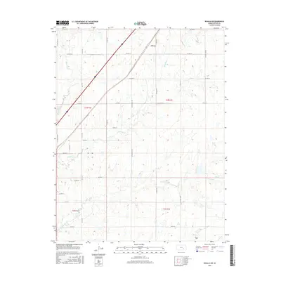
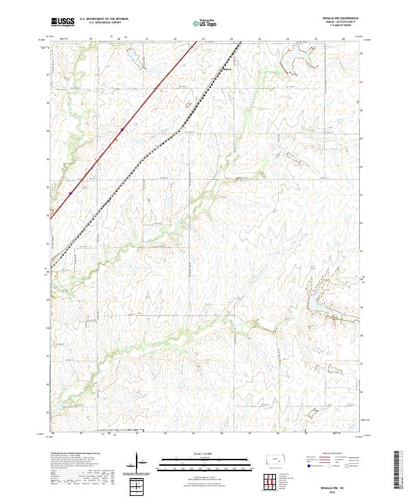
1961 Rosalia NE
Butler County, KS
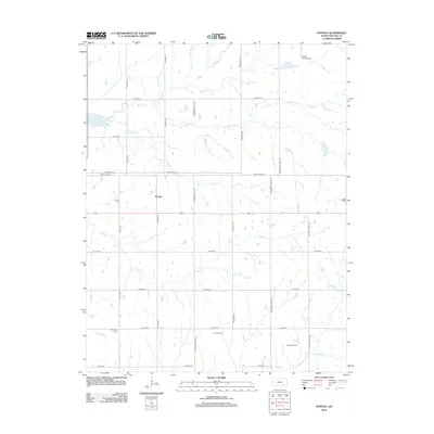
1961 Rosalia NW
Butler County, KS

1962 Florence SE
Butler County, KS

1962 Peabody SE
Butler County, KS
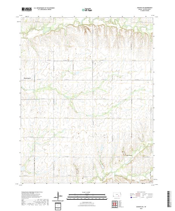
1964 Augusta SE
Butler County, KS
1964 Keighley
Butler County, KS
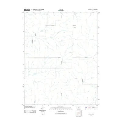
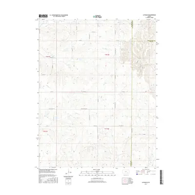
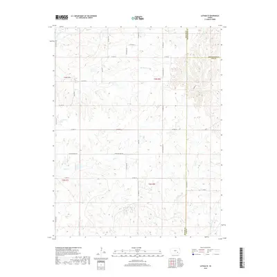
1964 Latham SE
Butler County, KS

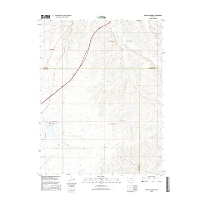
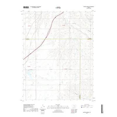
1967 Matfield Green SE
Butler County, KS
2009 Augusta SE
Butler County, KS
2009 El Dorado NW
Butler County, KS
2009 Florence SE
Butler County, KS
2009 Gordon
Butler County, KS
2009 Latham SE
Butler County, KS
2009 Matfield Green SE
Butler County, KS
2009 Peabody SE
Butler County, KS
2009 Pontiac
Butler County, KS
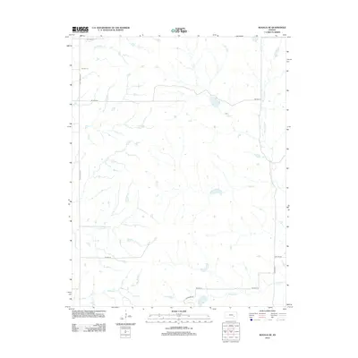
2009 Rosalia NW
Butler County, KS
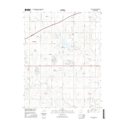
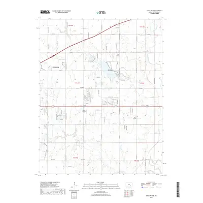
2009 Santa Fe Lake
Butler County, KS
2010 De Graff
Butler County, KS
2010 El Dorado SW
Butler County, KS
2010 Keighley
Butler County, KS
2010 Rosalia NE
Butler County, KS
2012 Augusta SE
Butler County, KS
2012 De Graff
Butler County, KS
2012 El Dorado NW
Butler County, KS
2012 El Dorado SW
Butler County, KS
2012 Florence SE
Butler County, KS
2012 Gordon
Butler County, KS
2012 Keighley
Butler County, KS
2012 Latham SE
Butler County, KS
2012 Matfield Green SE
Butler County, KS
2012 Peabody SE
Butler County, KS
2012 Pontiac
Butler County, KS
2012 Rosalia NE
Butler County, KS
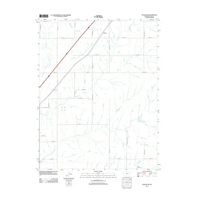
2012 Rosalia NW
Butler County, KS
2012 Santa Fe Lake
Butler County, KS
2015 Augusta SE
Butler County, KS
2015 De Graff
Butler County, KS
2015 El Dorado NW
Butler County, KS
2015 El Dorado SW
Butler County, KS
2015 Florence SE
Butler County, KS
2015 Gordon
Butler County, KS
2015 Keighley
Butler County, KS
2015 Latham SE
Butler County, KS
2015 Matfield Green SE
Butler County, KS
2015 Peabody SE
Butler County, KS
2015 Pontiac
Butler County, KS
2015 Rosalia NE
Butler County, KS
2015 Rosalia NW
Butler County, KS
2015 Santa Fe Lake
Butler County, KS
2018 Augusta SE
Butler County, KS
2018 De Graff
Butler County, KS
2018 El Dorado NW
Butler County, KS
2018 El Dorado SW
Butler County, KS
2018 Florence SE
Butler County, KS
2018 Gordon
Butler County, KS
2018 Keighley
Butler County, KS
2018 Latham SE
Butler County, KS
2018 Matfield Green SE
Butler County, KS
2018 Peabody SE
Butler County, KS
2018 Pontiac
Butler County, KS
2018 Rosalia NE
Butler County, KS
2018 Rosalia NW
Butler County, KS
2018 Santa Fe Lake
Butler County, KS
2022 Augusta SE
Butler County, KS
2022 De Graff
Butler County, KS
2022 El Dorado NW
Butler County, KS
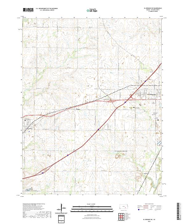
2022 El Dorado SW
Butler County, KS
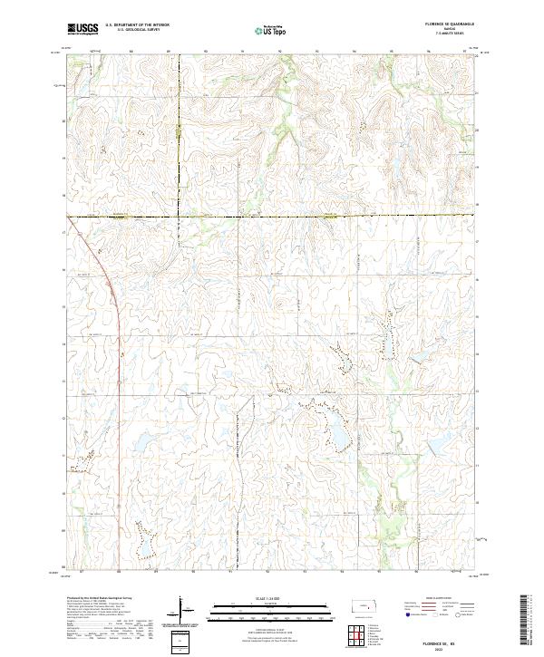
2022 Florence SE
Butler County, KS
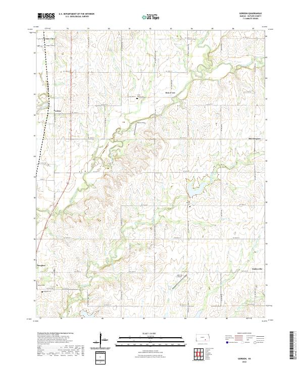
2022 Gordon
Butler County, KS
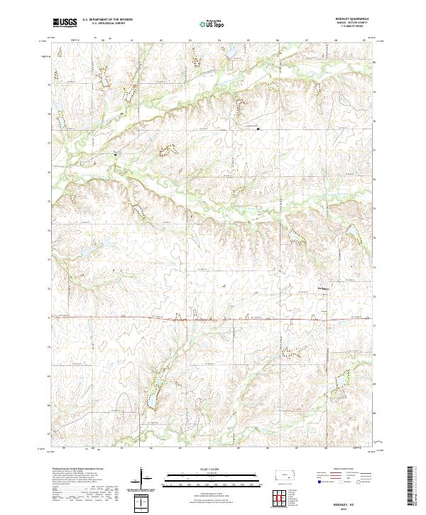
2022 Keighley
Butler County, KS
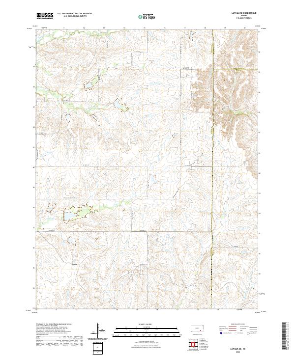
2022 Latham SE
Butler County, KS
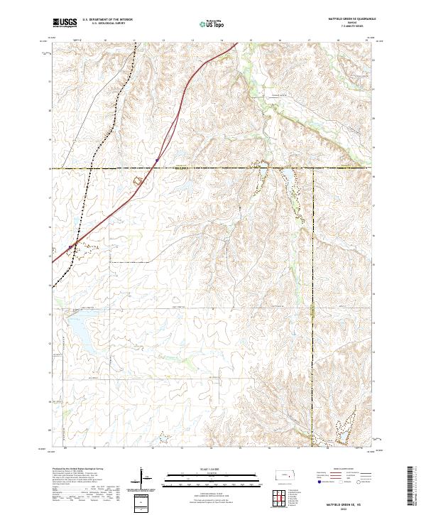
2022 Matfield Green SE
Butler County, KS

2022 Peabody SE
Butler County, KS
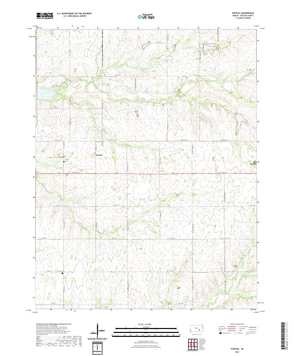
2022 Pontiac
Butler County, KS
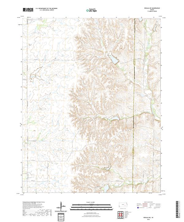
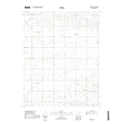
2022 Rosalia NE
Butler County, KS
2022 Rosalia NW
Butler County, KS
2022 Santa Fe Lake
Butler County, KS