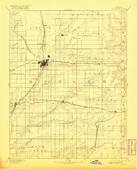
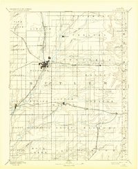
1888 Map of Eldorado
USGS Topo · Published 1920About this map
Eldorado serves as the central hub of this late nineteenth-century survey, positioned at the convergence of several major railroad lines that defined the early growth of Butler County. The landscape is etched by a dense network of iron rails, including the Atchison Topeka and Santa Fe Railroad and the St Louis and San Francisco Railroad, which connected frontier settlements like Leon and Beaumont to broader markets. Beyond the tracks, the terrain is defined by the winding paths of Little Walnut Creek and Satchel Creek, carving through the prairie landscape. Local genealogists will find value in the specific placement of smaller, often overlooked rail stops and communities such as Dixon, Schonholm, and Pontiac, many of which were vital nodes during the peak of the steam era before the shift toward regional consolidation changed the local geography.
Find a feature on this map
61 named features on this map. Tap any name to fly to it.
Don’t see what you’re looking for? This feature index may not catch every label — zoom into the map to look around manually.
Map Details
Editions of this 1888 Eldorado Map
6 editions found
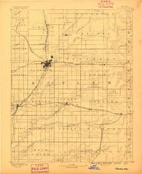
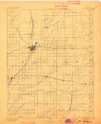
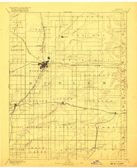
Other maps of this area

1885 · Eureka
USGS Topo · 1:125,000

1885 · Sedan
USGS Topo · 1:125,000

1888 · Emporia
USGS Topo · 1:125,000

1888 · Eureka
USGS Topo · 1:125,000

1888 · Eldorado
USGS Topo · 1:125,000

1889 · Newton
USGS Topo · 1:125,000

1889 · Burden
USGS Topo · 1:125,000

1889 · Sedan
USGS Topo · 1:125,000

1889 · Wichita
USGS Topo · 1:125,000

1890 · Wellington
USGS Topo · 1:125,000