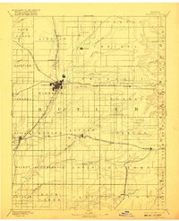
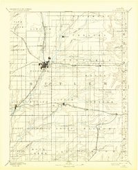
1888 Map of Eldorado
USGS Topo · Published 1917About this map
Eldorado serves as the central hub of this 1880s Kansas survey, where a complex network of steel rails began to define the regional economy. The landscape is marked by the convergence of the Atchison Topeka and Santa Fe Railroad and the St Louis Ft Scott and Wichita Railroad, facilitating the growth of prairie settlements like Towanda and Pontiac. These transportation corridors follow the natural drainages of Bird Creek and Turkey Creek, illustrating how early infrastructure mirrored the topography of the Flint Hills region.
Find a feature on this map
58 named features on this map. Tap any name to fly to it.
Don’t see what you’re looking for? This feature index may not catch every label — zoom into the map to look around manually.
Map Details
Editions of this 1888 Eldorado Map
6 editions found
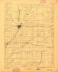
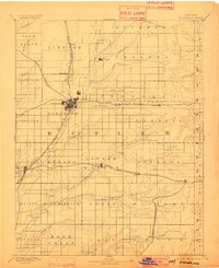
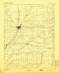
Other maps of this area

1885 · Eureka
USGS Topo · 1:125,000

1885 · Sedan
USGS Topo · 1:125,000

1888 · Emporia
USGS Topo · 1:125,000

1888 · Eureka
USGS Topo · 1:125,000

1888 · Eldorado
USGS Topo · 1:125,000

1889 · Newton
USGS Topo · 1:125,000

1889 · Burden
USGS Topo · 1:125,000

1889 · Sedan
USGS Topo · 1:125,000

1889 · Wichita
USGS Topo · 1:125,000

1890 · Wellington
USGS Topo · 1:125,000