
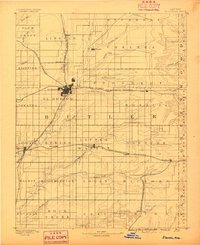
1888 Map of Eldorado
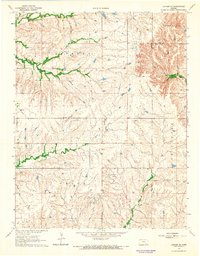
USGS Topo · Published 1888This historical map portrays the area of Eldorado in 1888, primarily covering Butler County as well as portions of Elk County and Greenwood County. Featuring a scale of 1:125000, this map provides a highly detailed snapshot of the terrain, roads, buildings, counties, and historical landmarks in the Eldorado region at the time. Published in 1888, it is one of 6 known editions of this map due to revisions or reprints.
Find a feature on this map
60 named features on this map. Tap any name to fly to it.
Don’t see what you’re looking for? This feature index may not catch every label — zoom into the map to look around manually.
Map Details
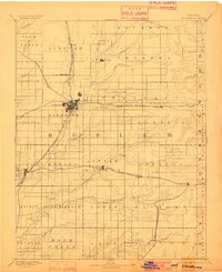
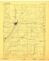
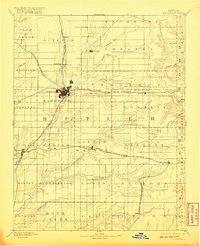
Editions of this 1888 Eldorado Map
6 editions found
Historical Maps of El Dorado Through Time
15 maps found
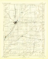
1888 Eldorado
Butler County, KS
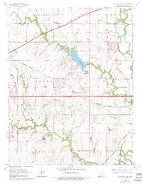
1955 Santa Fe Lake
Butler County, KS
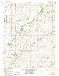
1961 De Graff
Butler County, KS
1961 El Dorado NW
Butler County, KS

1961 El Dorado SW
Butler County, KS
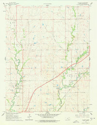
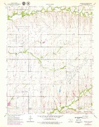
1961 Gordon
Butler County, KS

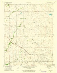
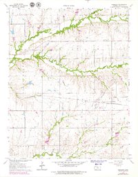
1961 Pontiac
Butler County, KS

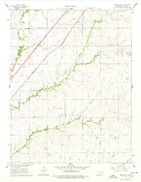
1961 Rosalia NE
Butler County, KS
1961 Rosalia NW
Butler County, KS

1962 Florence SE
Butler County, KS

1962 Peabody SE
Butler County, KS
1964 Augusta SE
Butler County, KS
1964 Keighley
Butler County, KS
1964 Latham SE
Butler County, KS

1967 Matfield Green SE
Butler County, KS