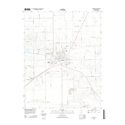
2015 Map of Eldorado
USGS Topo · Published 2015About this map
The city of Eldorado serves as the focal point of this Saline County landscape, characterized by a transition from organized municipal streets to the drainage basins of Indian Cr and White Oak Cr. The map preserves the spatial relationship between the primary settlement and its surrounding neighborhoods, including Beulah Heights and Saline City, along with the outlying area of Wasson.
Find a feature on this map
116 named features on this map. Tap any name to fly to it.
Don’t see what you’re looking for? This feature index may not catch every label — zoom into the map to look around manually.
Map Details
Editions of this 2015 Eldorado Map
This is the sole edition of this map. No revisions or reprints were ever made.
Other maps of this area
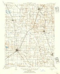
1905 · Eldorado
USGS Topo · 1:62,500
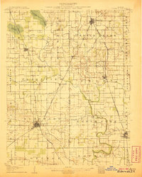
1906 · Eldorado
USGS Topo · 1:62,500
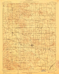
1908 · Galatia
USGS Topo · 1:62,500
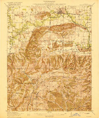
1916 · Equality
USGS Topo · 1:62,500
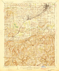
1925 · Harrisburg
USGS Topo · 1:62,500
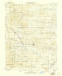
1938 · Galatia
USGS Topo · 1:62,500
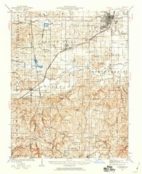
1939 · Harrisburg
USGS Topo · 1:62,500
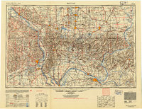
1949 · Paducah
USGS Topo · 1:250,000
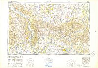
1950 · Paducah
USGS Topo · 1:250,000
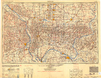
1954 · Paducah
USGS Topo · 1:250,000