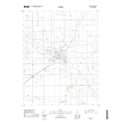
2018 Map of Eldorado
USGS Topo · Published 2018About this map
The city of Eldorado serves as the central hub of this Saline County landscape, characterized by a dense grid of residential streets like Douglas St and Mundy St. To the southwest, the smaller settlement of Wasson sits along the roadway, while the campus of Southeastern Illinois College marks the southern edge of the survey area. The territory is defined by its water management and commemorative sites, from the Eldorado Reservoir in the west to several prominent family burial grounds including the Read Family Cem and Dodd Family Cem. Historical transit routes are evident in the naming of Goshen Trail Rd, which cuts through the northern sections near Indian Cr. The rural periphery is dotted with significant local landmarks such as the Wolf Creek Primitive Baptist Church Cem and Saint Mary Cem, reflecting the deep-rooted community structure of Southern Illinois.
Find a feature on this map
112 named features on this map. Tap any name to fly to it.
Don’t see what you’re looking for? This feature index may not catch every label — zoom into the map to look around manually.
Map Details
Editions of this 2018 Eldorado Map
This is the sole edition of this map. No revisions or reprints were ever made.
Other maps of this area
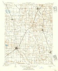
1905 · Eldorado
USGS Topo · 1:62,500
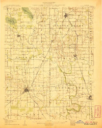
1906 · Eldorado
USGS Topo · 1:62,500
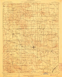
1908 · Galatia
USGS Topo · 1:62,500
1916 · Equality
USGS Topo · 1:62,500
1925 · Harrisburg
USGS Topo · 1:62,500
1938 · Galatia
USGS Topo · 1:62,500
1939 · Harrisburg
USGS Topo · 1:62,500
1949 · Paducah
USGS Topo · 1:250,000
1950 · Paducah
USGS Topo · 1:250,000
1954 · Paducah
USGS Topo · 1:250,000