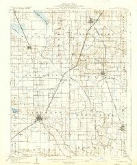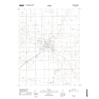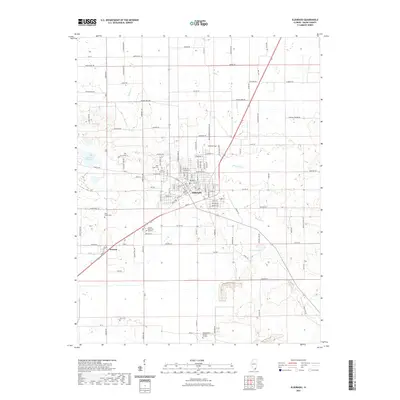
1963 Map of Eldorado
USGS Topo · Published 1966About this map
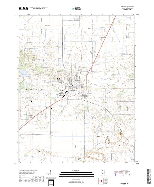
The industrial and agricultural landscape of Southern Illinois is defined here by the meeting of several major rail lines and the winding North Fork Saline River. In Eldorado, the intersection of the Louisville and Nashville, New York Central, and Illinois Central railroads highlights the town's role as a regional transport hub during the mid-20th century. To the north and west, smaller settlements like Broughton and Norris City serve as anchors for a rural landscape dotted with numerous family cemeteries and country churches, such as Shiloh Ch and the Lantham Cem. The extraction economy is evident in the Omaha Oil and Gas Field and scattered oil wells near Wasson. Low-lying areas along White Oak Creek and Rector Creek transition into the prominent elevations of Gold Hill and Heralds Prairie, while landmarks like the Broughton Sch and Wesley Chapel provide critical points of interest for genealogists.
Find a feature on this map
88 named features on this map. Tap any name to fly to it.
Don’t see what you’re looking for? This feature index may not catch every label — zoom into the map to look around manually.
Map Details
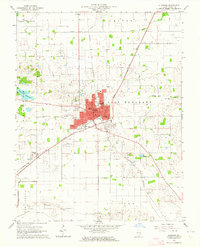
Editions of this 1963 Eldorado Map
This is the sole edition of this map. No revisions or reprints were ever made.
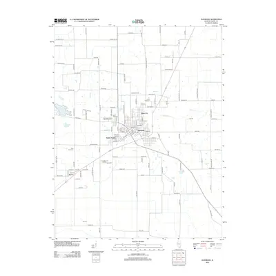
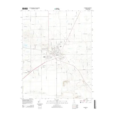
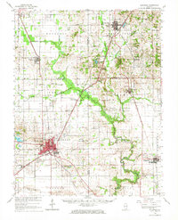
Historical Maps of Eldorado Through Time
9 maps found