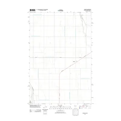
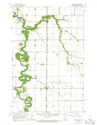
2013 Map of Eldred
USGS Topo · Published 2013About this map
Agricultural precision defines the landscape around Eldred, where a sophisticated network of drainage infrastructure manages the fertile Red River Valley plains. This 2013 survey illustrates the extensive system of engineered waterways, including County Ditch Number One Hundred Ten and County Ditch Number One Hundred Sixteen, which cross the terrain at right angles to support large-scale farming operations. These ditches, such as County Ditch Number One Hundred Seventeen and County Ditch Number One Hundred Thirtyfive, are central to the region's geography, following the section lines of the township grid. For those tracing local heritage, Bardo Cem stands as a significant landmark in the northern portion of the map, while Co Hwy-45 and 380th St SW provide the primary transit corridors for this rural community near the border of Minnesota and North Dakota.
Find a feature on this map
16 named features on this map. Tap any name to fly to it.
Don’t see what you’re looking for? This feature index may not catch every label — zoom into the map to look around manually.
Map Details
Editions of this 2013 Eldred Map
This is the sole edition of this map. No revisions or reprints were ever made.
Other maps of this area
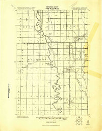
1919 · Eldred
USGS Topo · 1:62,500
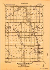
1919 · Beltrami
USGS Topo · 1:62,500

1952 · Grand Forks
USGS Topo · 1:250,000
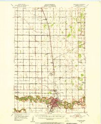
1953 · Crookston
USGS Topo · 1:62,500

1956 · Grand Forks
USGS Topo · 1:250,000
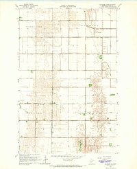
1964 · Beltrami SW
USGS Topo · 1:24,000
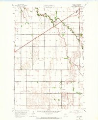
1964 · Girard
USGS Topo · 1:24,000
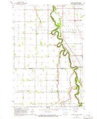
1964 · Climax NW
USGS Topo · 1:24,000
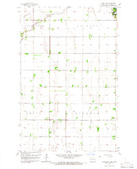
1964 · Climax SW
USGS Topo · 1:24,000
1964 · Climax
USGS Topo · 1:24,000