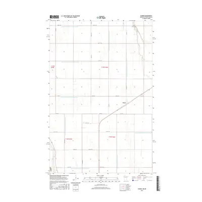
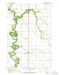
2016 Map of Eldred
USGS Topo · Published 2016About this map
Eldred and the surrounding agricultural lands of Polk Co are defined by a sophisticated water management network. In this corner of the Red River Valley, the landscape is etched with a precise grid of drainage projects, including County Ditch Number One Hundred Ten and County Ditch Number One Hundred Seventeen. These engineering efforts transformed the prairie into productive farmland, as evidenced by the numerous ditches like County Ditch Number One Hundred Eight and County Ditch Number One Hundred Sixteen that cross the townships. Local heritage is preserved at the Bardo Cem in the northeastern quadrant. The map detail reflects the persistence of section-line roads and the vital role of water control in sustaining the rural economy of northwestern Minnesota.
Find a feature on this map
32 named features on this map. Tap any name to fly to it.
Don’t see what you’re looking for? This feature index may not catch every label — zoom into the map to look around manually.
Map Details
Editions of this 2016 Eldred Map
This is the sole edition of this map. No revisions or reprints were ever made.
Other maps of this area
1919 · Eldred
USGS Topo · 1:62,500
1919 · Beltrami
USGS Topo · 1:62,500

1952 · Grand Forks
USGS Topo · 1:250,000
1953 · Crookston
USGS Topo · 1:62,500

1956 · Grand Forks
USGS Topo · 1:250,000
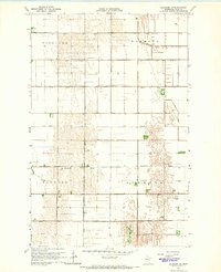
1964 · Beltrami SW
USGS Topo · 1:24,000
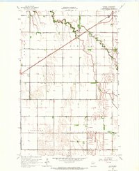
1964 · Girard
USGS Topo · 1:24,000
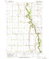
1964 · Climax NW
USGS Topo · 1:24,000
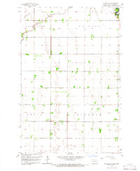
1964 · Climax SW
USGS Topo · 1:24,000
1964 · Climax
USGS Topo · 1:24,000