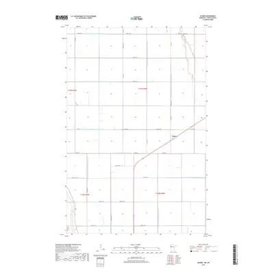
2019 Map of Eldred
USGS Topo · Published 2019About this map
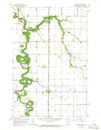
The small settlement of Eldred serves as the focal point for this section of Polk County, where the landscape is defined by an extensive network of water management infrastructure. The Red River Valley's agricultural heritage is evident through the dense grid of drainage systems, including County Ditch Number One Hundred Sixteen and County Ditch Number One Hundred Seventeen, which cut straight lines across the flat terrain to reclaim land for farming. In the northeastern corner, Bardo Cem stands as a quiet marker of the local community's genealogy and early settlement history. The map illustrates a highly organized township and range system, where county roads such as Co HWY 45 and Co RD 221 follow the section lines, creating a geometric pattern of transit and land use characteristic of the region.
Find a feature on this map
32 named features on this map. Tap any name to fly to it.
Don’t see what you’re looking for? This feature index may not catch every label — zoom into the map to look around manually.
Map Details
Editions of this 2019 Eldred Map
This is the sole edition of this map. No revisions or reprints were ever made.
Other maps of this area
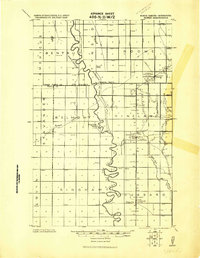
1919 · Eldred
USGS Topo · 1:62,500
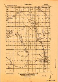
1919 · Beltrami
USGS Topo · 1:62,500

1952 · Grand Forks
USGS Topo · 1:250,000
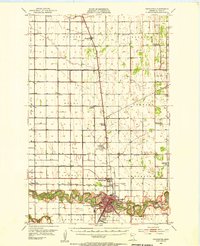
1953 · Crookston
USGS Topo · 1:62,500

1956 · Grand Forks
USGS Topo · 1:250,000
1964 · Beltrami SW
USGS Topo · 1:24,000
1964 · Girard
USGS Topo · 1:24,000
1964 · Climax NW
USGS Topo · 1:24,000
1964 · Climax SW
USGS Topo · 1:24,000
1964 · Climax
USGS Topo · 1:24,000