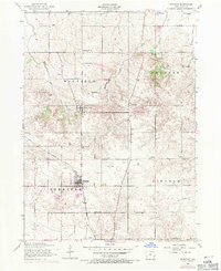
1953 Map of Eldridge
USGS Topo · Published 1971About this map
Eldridge and Long Grove anchor this Scott County landscape during a period of transition, where established rural institutions meet mid-century development. The map reveals a dense network of country education and faith, featuring Looney School, School No 7, and St Anns Church, alongside several cemeteries like Mt Joy Cemetery and Fairview Cemetery. The rail infrastructure is particularly telling, showing the active line of the Chicago Milwaukee St Paul and Pacific cutting through Sheridan and Winfield townships, contrasted with a Dismantled Railroad in the north. The 1970 photorevisions, shown in purple, highlight the emergence of Park View, signaling the suburban growth beginning to overlay the traditional grid of section lines and creeks like Mason Creek and McDonald Creek.
Find a feature on this map
25 named features on this map. Tap any name to fly to it.
Don’t see what you’re looking for? This feature index may not catch every label — zoom into the map to look around manually.
Map Details
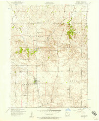
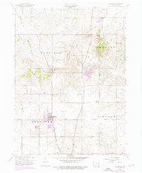
Editions of this 1953 Eldridge Map
3 editions found
Other maps of this area

1891 · DeWitt
USGS Topo · 1:62,500

1891 · Davenport
USGS Topo · 1:62,500

1892 · Goose Lake
USGS Topo · 1:62,500

1892 · Leclaire
USGS Topo · 1:62,500

1893 · Leclaire
USGS Topo · 1:62,500

1894 · Goose Lake
USGS Topo · 1:62,500

1894 · Davenport
USGS Topo · 1:62,500

1899 · Clinton
USGS Topo · 1:125,000

1901 · Rock Island
USGS Topo · 1:125,000

1910 · Rock Island
USGS Topo · 1:125,000