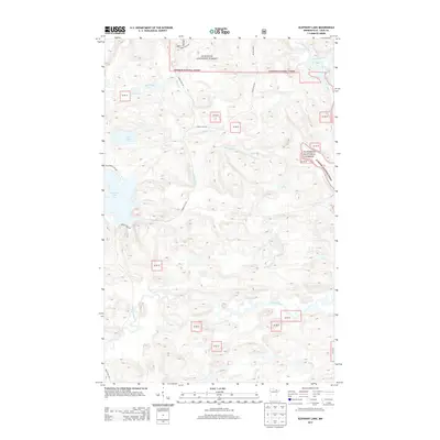
2013 Map of Elephant Lake
USGS Topo · Published 2013About this map
Elephant Lake and its surrounding wetlands dominate this 2013 topographic survey within the Superior National Forest. This remote landscape in Saint Louis County is defined by a dense network of water bodies, including Silver Lake and Bug Lake, which feed into numerous waterways like Bug Creek and Elephant Creek. The map documents a classic Northwoods terrain where the Pelican River and Vermilion River provide natural drainage through heavy forest cover.
Find a feature on this map
18 named features on this map. Tap any name to fly to it.
Don’t see what you’re looking for? This feature index may not catch every label — zoom into the map to look around manually.
Map Details
Editions of this 2013 Elephant Lake Map
This is the sole edition of this map. No revisions or reprints were ever made.
Other maps of this area

1954 · International Falls
USGS Topo · 1:250,000

1957 · International Falls
USGS Topo · 1:250,000

1958 · International Falls
USGS Topo · 1:250,000

1967 · Kabustasa Lake
USGS Topo · 1:24,000

1967 · Marion Lake
USGS Topo · 1:24,000

1967 · Elephant Lake
USGS Topo · 1:24,000
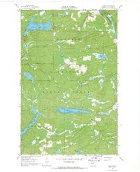
1967 · Buyck
USGS Topo · 1:24,000

1967 · Johnson Lake
USGS Topo · 1:24,000
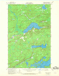
1968 · Myrtle Lake
USGS Topo · 1:24,000

1968 · Ash River SE
USGS Topo · 1:24,000