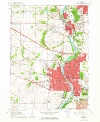
1962 Map of Elgin
USGS Topo · Published 1964About this map
The Fox River valley serves as the central artery for this early 1960s industrial and residential landscape, anchoring the bustling city of Elgin and the twin villages of West Dundee and East Dundee. The transition from urban density to rural outskirts is evident in the numerous gravel pits dotting the landscape and the presence of the Northwest Tollway, which had recently reshaped regional transit. Institutional landmarks like the sprawling Elgin State Hospital and Elgin Academy highlight the city's established social infrastructure.
Find a feature on this map
85 named features on this map. Tap any name to fly to it.
Don’t see what you’re looking for? This feature index may not catch every label — zoom into the map to look around manually.
Map Details
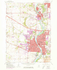
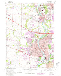
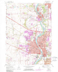
Editions of this 1962 Elgin Map
4 editions found
Other maps of this area

1908 · Wheaton
USGS Topo · 1:62,500

1923 · Barrington
USGS Topo · 1:62,500

1925 · Elgin
USGS Topo · 1:62,500

1932 · Geneva
USGS Topo · 1:62,500

1935 · Barrington
USGS Topo · 1:62,500

1940 · Elgin
USGS Topo · 1:62,500

1948 · Wheaton
USGS Topo · 1:62,500

1948 · Geneva
USGS Topo · 1:62,500

1949 · Geneva
USGS Topo · 1:24,000

1953 · West Chicago
USGS Topo · 1:24,000