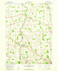
1960 Map of Elida
USGS Topo · Published 1961About this map
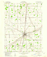
The Ottawa River meanders through this portion of Allen County, anchoring a landscape defined by small rural centers and the steady expansion of Lima. The village of Elida sits at a critical junction where the Pennsylvania railroad meets the winding river valley, while Gomer and Allentown serve as established points in the surrounding agricultural townships of Marion, Sugar Creek, and Amanda.
Find a feature on this map
58 named features on this map. Tap any name to fly to it.
Don’t see what you’re looking for? This feature index may not catch every label — zoom into the map to look around manually.
Map Details
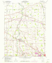
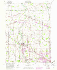
Editions of this 1960 Elida Map
3 editions found
Other maps of this area
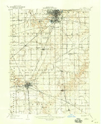
1906 · Lima
USGS Topo · 1:62,500
1906 · Columbus Grove
USGS Topo · 1:62,500
1908 · Columbus Grove
USGS Topo · 1:62,500
1911 · Spencerville
USGS Topo · 1:62,500
1911 · Delphos
USGS Topo · 1:62,500
1944 · Delphos
USGS Topo · 1:62,500
1944 · Spencerville
USGS Topo · 1:62,500

1953 · Muncie
USGS Topo · 1:250,000

1956 · Muncie
USGS Topo · 1:250,000
1960 · Columbus Grove
USGS Topo · 1:24,000