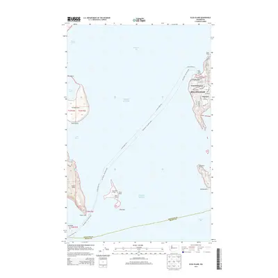
2014 Map of Eliza Island
USGS Topo · Published 2014About this map
Eliza Island and the southwestern outskirts of Bellingham define this coastal landscape where the waters of Puget Sound meet Bellingham Bay. The map highlights a complex maritime environment, showing the navigational routes of the Alaska Marine Hwy as they thread through Hale Passage and past Portage Island. Along the mainland shore, residential expansion is evident in neighborhoods like Edgemoor and South Bellingham, while the historic area of Fairhaven remains a focal point near Padden Creek Marine. The inclusion of the Eliza Island Airport and various navigational landmarks such as Whiskey Rock and Eliza Rock underscores the area's dependence on both sea and air travel. This survey documents the modern interface between established shoreline communities and the protected tidelands of Portage Bay.
Find a feature on this map
48 named features on this map. Tap any name to fly to it.
Don’t see what you’re looking for? This feature index may not catch every label — zoom into the map to look around manually.
Map Details
Editions of this 2014 Eliza Island Map
This is the sole edition of this map. No revisions or reprints were ever made.
Other maps of this area

1906 · Sumas
USGS Topo · 1:62,500

1907 · Blaine
USGS Topo · 1:62,500

1908 · Sumas
USGS Topo · 1:62,500

1918 · Samish Lake
USGS Topo · 1:62,500

1943 · Anacortes
USGS Topo · 1:62,500

1951 · Anacortes
USGS Topo · 1:62,500

1952 · Ferndale
USGS Topo · 1:24,000

1952 · Lummi Bay
USGS Topo · 1:24,000

1952 · Blaine
USGS Topo · 1:62,500

1954 · Bow
USGS Topo · 1:24,000