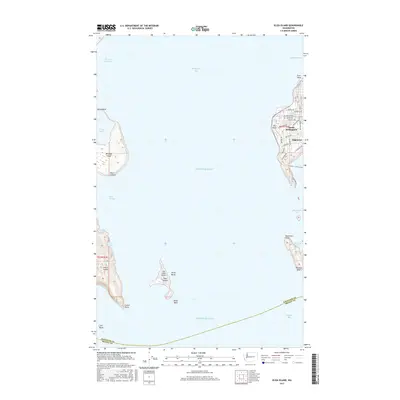
2017 Map of Eliza Island
USGS Topo · Published 2017About this map
Eliza Island serves as a central anchor in this maritime study of the southern reaches of Bellingham Bay and the northern Puget Sound. The map documents a complex coastal geography where the residential neighborhood of Edgemoor and the industrial-tinted South Bellingham meet the water at Post Point. These shorelines are defined by significant natural landmarks, including the high bluffs of Lummi Island to the west and the sheltered waters of Chuckanut Bay to the east.
Find a feature on this map
50 named features on this map. Tap any name to fly to it.
Don’t see what you’re looking for? This feature index may not catch every label — zoom into the map to look around manually.
Map Details
Editions of this 2017 Eliza Island Map
This is the sole edition of this map. No revisions or reprints were ever made.
Other maps of this area

1906 · Sumas
USGS Topo · 1:62,500

1907 · Blaine
USGS Topo · 1:62,500

1908 · Sumas
USGS Topo · 1:62,500

1918 · Samish Lake
USGS Topo · 1:62,500

1943 · Anacortes
USGS Topo · 1:62,500

1951 · Anacortes
USGS Topo · 1:62,500

1952 · Ferndale
USGS Topo · 1:24,000

1952 · Lummi Bay
USGS Topo · 1:24,000

1952 · Blaine
USGS Topo · 1:62,500

1954 · Bow
USGS Topo · 1:24,000