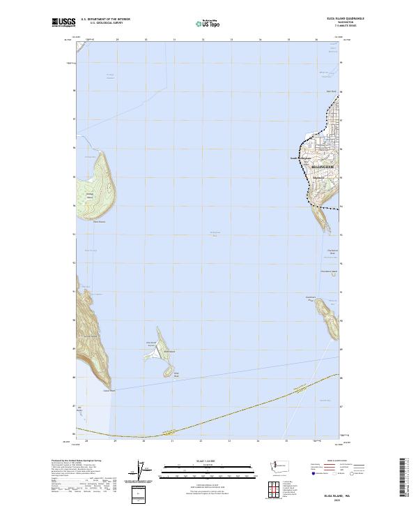
2023 Map of Eliza Island
USGS Topo · Published 2023About this map
Eliza Island sits at the heart of this maritime survey, surrounded by the waters of Bellingham Bay and Hale Passage. The map highlights the intersection of natural conservation and modern development, featuring the San Juan Islands National Monument alongside the small Eliza Island Airport. On the eastern shore, the residential growth of South Bellingham and Edgemoor is clearly defined, with a dense network of local roads such as Fieldston Rd and Bayside Rd reaching toward the coast.
Find a feature on this map
57 named features on this map. Tap any name to fly to it.
Don’t see what you’re looking for? This feature index may not catch every label — zoom into the map to look around manually.
Map Details
Editions of this 2023 Eliza Island Map
This is the sole edition of this map. No revisions or reprints were ever made.
Other maps of this area

1906 · Sumas
USGS Topo · 1:62,500

1907 · Blaine
USGS Topo · 1:62,500

1908 · Sumas
USGS Topo · 1:62,500

1918 · Samish Lake
USGS Topo · 1:62,500

1943 · Anacortes
USGS Topo · 1:62,500

1951 · Anacortes
USGS Topo · 1:62,500

1952 · Ferndale
USGS Topo · 1:24,000

1952 · Lummi Bay
USGS Topo · 1:24,000

1952 · Blaine
USGS Topo · 1:62,500

1954 · Bow
USGS Topo · 1:24,000