
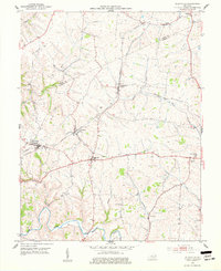
1952 Map of Elizaville
USGS Topo · Published 1953About this map
The hills and creek beds of Fleming and Mason counties define this 1952 landscape, where the Louisville and Nashville railroad serves as the primary artery for local commerce. Small agrarian hubs like Elizaville and Ewing are connected by a network of winding roads, including the Nashville and Flemingsburg route, while smaller hamlets like Nepton and Craintown dot the periphery. The terrain is deeply etched by Fleming Creek and its tributaries, such as Mud Lick Creek and Cassidy Creek.
Find a feature on this map
27 named features on this map. Tap any name to fly to it.
Don’t see what you’re looking for? This feature index may not catch every label — zoom into the map to look around manually.
Map Details
Editions of this 1952 Elizaville Map
3 editions found
Other maps of this area

1915 · Maysville
USGS Topo · 1:62,500

1919 · Maysville
USGS Topo · 1:62,500

1929 · Springdale
USGS Topo · 1:48,000

1935 · Springdale
USGS Topo · 1:62,500

1951 · Hillsboro
USGS Topo · 1:24,000

1951 · Flemingsburg
USGS Topo · 1:24,000

1952 · Cowan
USGS Topo · 1:24,000

1952 · Sherburne
USGS Topo · 1:24,000

1952 · Sardis
USGS Topo · 1:24,000
1952 · Orangeburg
USGS Topo · 1:24,000