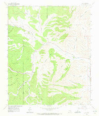
1963 Map of Elk
USGS Topo · Published 1972About this map
Rio Peñasco winds through the heart of this high-elevation landscape, defining the local settlement pattern of Chaves and Otero counties. The small community of Elk sits along the river valley, supported by the nearby Elk Cem and the Crockett Ranch. Much of the southwestern portion of the map is managed as part of the Lincoln National Forest, where the terrain is deeply incised by a network of drainage features like Agua Chiquita Creek and Mathews Canyon. The reliance on local water sources in this arid environment is evident in the presence of Sixteen Springs, Paul Springs, and livestock infrastructure such as Mathews Tank No 1. Rising above the canyon systems, Wind Mountain serves as a prominent landmark in the northeastern corner, overlooking the complex series of draws and canyons that characterize this section of the Sacramento Mountains foothills.
Find a feature on this map
41 named features on this map. Tap any name to fly to it.
Don’t see what you’re looking for? This feature index may not catch every label — zoom into the map to look around manually.
Map Details
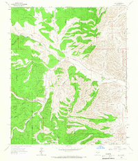
Editions of this 1963 Elk Map
2 editions found
Other maps of this area

1954 · Carlsbad
USGS Topo · 1:250,000

1955 · Roswell
USGS Topo · 1:250,000

1958 · Carlsbad
USGS Topo · 1:250,000

1958 · Roswell
USGS Topo · 1:250,000

1961 · Flying H
USGS Topo · 1:62,500

1962 · Roswell
USGS Topo · 1:250,000

1962 · Dunken
USGS Topo · 1:62,500

1963 · Clements Ranch
USGS Topo · 1:24,000

1963 · Mayhill
USGS Topo · 1:24,000

1963 · Turkey Peak
USGS Topo · 1:24,000