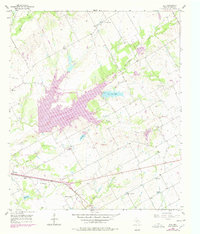
1957 Map of Elk
USGS Topo · Published 1978About this map
Tradinghouse Creek Reservoir dominates the central landscape of this McLennan County survey, serving as a focal point for water management and industrial infrastructure. The 1976 revisions, shown in purple, highlight the growth of local utilities including a large substation and pumping station near the reservoir's banks. To the north, the settlement of Elk is anchored by St Josephs Ch and the nearby Harper Cem, while the southern reaches feature the Meier Settlement Ch and the Waco Motorcycle Club grounds.
Find a feature on this map
41 named features on this map. Tap any name to fly to it.
Don’t see what you’re looking for? This feature index may not catch every label — zoom into the map to look around manually.
Map Details
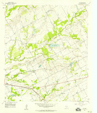
Editions of this 1957 Elk Map
2 editions found
Other maps of this area

1892 · Temple
USGS Topo · 1:125,000

1892 · Waco
USGS Topo · 1:125,000

1920 · Waco
USGS Topo · 1:125,000

1920 · Mart
USGS Topo · 1:62,500

1931 · Elm Mott
USGS Topo · 1:62,500

1954 · Waco
USGS Topo · 1:250,000

1955 · Waco
USGS Topo · 1:250,000

1956 · Axtell
USGS Topo · 1:24,000

1956 · Mart
USGS Topo · 1:24,000

1957 · Prairie Hill
USGS Topo · 1:24,000