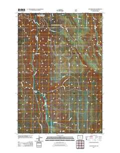
2011 Map of Elk Mountain
USGS Topo · Published 2011About this map
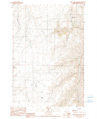
Elk Mountain dominates the central topography of this Wallowa County landscape, situated within a complex network of canyons and drainage systems. The map illustrates a remote ranching environment where life and movement are dictated by the terrain, featuring established sites such as Palmer Ranch, Weaver Ranch, and Dorrance Ranch. Water sources like Swamp Creek and Elk Creek carve through the land, creating distinct geographical markers like Slack Canyon and Arkansas Hollow. The presence of Starvation Rd and Elk Mountain Rd highlights the utility-driven nature of the early 21st-century road network, connecting isolated holdings across Baker Canyon and beyond. This survey provides a clear view of how land use and hydrology intersect in the high country of northeast Oregon.
Find a feature on this map
28 named features on this map. Tap any name to fly to it.
Don’t see what you’re looking for? This feature index may not catch every label — zoom into the map to look around manually.
Map Details
Editions of this 2011 Elk Mountain Map
This is the sole edition of this map. No revisions or reprints were ever made.
Other maps of this area

1955 · Grangeville
USGS Topo · 1:250,000
1957 · Enterprise
USGS Topo · 1:62,500
1957 · Joseph
USGS Topo · 1:62,500
1957 · Sled Springs
USGS Topo · 1:62,500
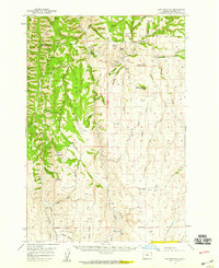
1957 · Elk Mountain
USGS Topo · 1:62,500

1959 · Grangeville
USGS Topo · 1:250,000
1982 · Wallowa
USGS Topo · 1:100,000
1986 · Enterprise
USGS Topo · 1:100,000
1990 · Hicks Spring
USGS Topo · 1:24,000
1990 · Three Lakes Country
USGS Topo · 1:24,000