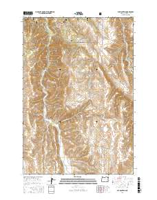
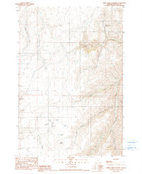
2017 Map of Elk Mountain
USGS Topo · Published 2017About this map
Wallowa National Forest land dominates this high-altitude landscape in northeast Oregon, centered on the prominent summit of Elk Mountain. The terrain is defined by deep drainages and named depressions including Slack Canyon and Gould Gulch, which feed a complex network of waterways such as Elk Cr and Crow Creek Cr. Evidence of timber management and rural access is clear through the network of forest service roads like Starvation Rd and NFD 46 Rd. The southern portion of the sheet reveals the headwaters of Beaver Cr and Spring Cr, while the western edge is marked by the winding course of Arkansas Hollow and Arkansas Hollow Rd. This topography illustrates the rugged transition between the high ridges and the deeply carved canyons characteristic of the Wallowa region.
Find a feature on this map
24 named features on this map. Tap any name to fly to it.
Don’t see what you’re looking for? This feature index may not catch every label — zoom into the map to look around manually.
Map Details
Editions of this 2017 Elk Mountain Map
This is the sole edition of this map. No revisions or reprints were ever made.
Other maps of this area

1955 · Grangeville
USGS Topo · 1:250,000
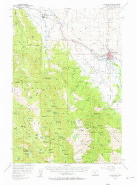
1957 · Enterprise
USGS Topo · 1:62,500
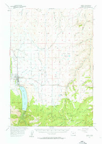
1957 · Joseph
USGS Topo · 1:62,500
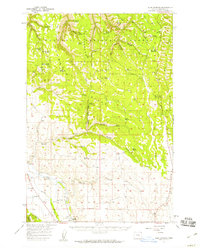
1957 · Sled Springs
USGS Topo · 1:62,500
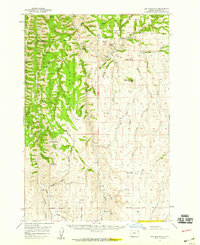
1957 · Elk Mountain
USGS Topo · 1:62,500

1959 · Grangeville
USGS Topo · 1:250,000
1982 · Wallowa
USGS Topo · 1:100,000
1986 · Enterprise
USGS Topo · 1:100,000
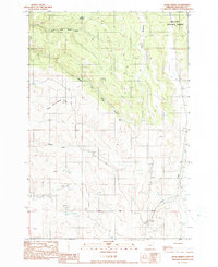
1990 · Hicks Spring
USGS Topo · 1:24,000
1990 · Three Lakes Country
USGS Topo · 1:24,000