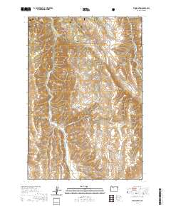
2020 Map of Elk Mountain
USGS Topo · Published 2020About this map
Gould Gulch and Crow Cr carve through this section of Wallowa County, illustrating the drainage patterns that define this landscape. This 2020 record focuses on a sparsely settled portion of the county, characterized by significant elevation changes and seasonal watercourses. The drainage of Crow Cr in the northeast corner of the map provides a look at the natural boundaries that influenced land use and forestry in the region. Without the presence of dense settlements or town centers, the focus remains on the named topographic features and the local forest service road network that provides access to the high country. This map is a primary resource for understanding the contemporary topography and hydrography of the Elk Mountain vicinity within the Pacific Northwest.
Find a feature on this map
2 named features on this map. Tap any name to fly to it.
Don’t see what you’re looking for? This feature index may not catch every label — zoom into the map to look around manually.
Map Details
Editions of this 2020 Elk Mountain Map
This is the sole edition of this map. No revisions or reprints were ever made.
Other maps of this area

1955 · Grangeville
USGS Topo · 1:250,000
1957 · Enterprise
USGS Topo · 1:62,500
1957 · Joseph
USGS Topo · 1:62,500
1957 · Sled Springs
USGS Topo · 1:62,500
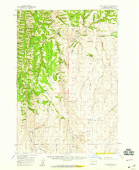
1957 · Elk Mountain
USGS Topo · 1:62,500

1959 · Grangeville
USGS Topo · 1:250,000
1982 · Wallowa
USGS Topo · 1:100,000
1986 · Enterprise
USGS Topo · 1:100,000
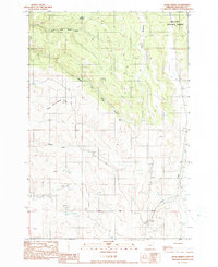
1990 · Hicks Spring
USGS Topo · 1:24,000
1990 · Three Lakes Country
USGS Topo · 1:24,000