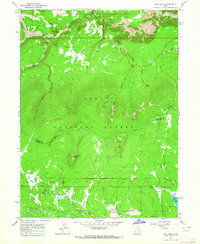
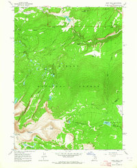
1963 Map of Elk Park
USGS Topo · Published 1964About this map
Ashley National Forest dominates this mid-century survey of the high Uinta mountain region, where the terrain is defined by a series of open meadows and alpine basins known as parks. The map documents a complex landscape of water management and historical land use, centered around the Oaks Park Reservoir and the Trout Creek Guard Station. A significant historical landmark is the Old Military Reservation Boundary, which cuts across the southern portion of the quadrangle near Soldier Park.
Find a feature on this map
40 named features on this map. Tap any name to fly to it.
Don’t see what you’re looking for? This feature index may not catch every label — zoom into the map to look around manually.
Map Details
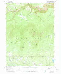
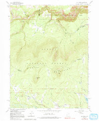
Editions of this 1963 Elk Park Map
3 editions found
Other maps of this area

1885 · Ashley
USGS Topo · 1:250,000

1906 · Marsh Peak
USGS Topo · 1:125,000

1908 · Marsh Peak
USGS Topo · 1:125,000

1950 · Dyer Mountain
USGS Topo · 1:24,000

1952 · Flaming Gorge
USGS Topo · 1:24,000

1954 · Vernal
USGS Topo · 1:250,000

1958 · Vernal
USGS Topo · 1:250,000

1960 · Vernal
USGS Topo · 1:250,000
1963 · Manila
USGS Topo · 1:24,000
1963 · Leidy Peak
USGS Topo · 1:24,000