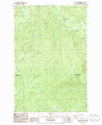
1986 Map of Elkhorn Creek
USGS Topo · Published 1986About this map
North River meanders through the forested terrain of southwest Washington in this mid-1980s topographical study. The landscape is defined by its intricate drainage network, where the West Fork Elkhorn Creek and Elkhorn Creek converge to join the primary river system. This area, straddling the border between Grays Harbor and Pacific Counties, shows a region heavily shaped by timber management and waterway access. The map reveals the elevation changes of Star Hill and the winding paths of smaller tributaries like Salmon Creek, Smith Creek, and Tuttle Creek. Unlike many coastal quadrangles, this interior region is focused on the remote watersheds and section lines of the Willapa Hills, providing a clear view of the rural geography and natural drainage patterns before modern commercial developments altered the secondary road networks.
Find a feature on this map
12 named features on this map. Tap any name to fly to it.
Don’t see what you’re looking for? This feature index may not catch every label — zoom into the map to look around manually.
Map Details
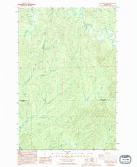
Editions of this 1986 Elkhorn Creek Map
2 editions found
Other maps of this area

1938 · South Bend
USGS Topo · 1:62,500

1940 · Montesano
USGS Topo · 1:62,500

1940 · South Bend
USGS Topo · 1:62,500

1953 · Hoquiam
USGS Topo · 1:250,000

1955 · Montesano
USGS Topo · 1:62,500

1955 · Raymond
USGS Topo · 1:62,500

1955 · Aberdeen SE
USGS Topo · 1:24,000

1957 · Hoquiam
USGS Topo · 1:250,000
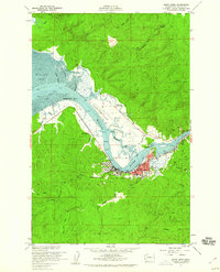
1957 · South Bend
USGS Topo · 1:24,000
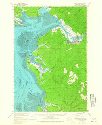
1957 · South Bend
USGS Topo · 1:62,500