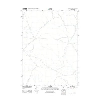
2012 Map of Elkhorn Springs
USGS Topo · Published 2012About this map
Elkhorn Springs and its surrounding high-plains landscape define this portion of Fremont County, where a network of local roads and 4WD tracks crisscross the drainage of the W Fork Long Cr. The area is characterized by its intermittent water sources and isolated catchments, notably Findlay Lake in the west-central portion of the quadrangle. This 2012 survey illustrates the modern road network used for land management and resource access, including routes that follow the winding path of Long Cr through the southeastern corner. The map provides a clear look at the hydraulic patterns and topographical variations typical of the Wyoming interior, serving as a reliable reference for understanding the rural infrastructure and land use in this specific part of the county.
Find a feature on this map
4 named features on this map. Tap any name to fly to it.
Don’t see what you’re looking for? This feature index may not catch every label — zoom into the map to look around manually.
Map Details
Editions of this 2012 Elkhorn Springs Map
This is the sole edition of this map. No revisions or reprints were ever made.
Other maps of this area
1951 · Graham Ranch
USGS Topo · 1:24,000
1951 · Myers Ranch
USGS Topo · 1:24,000
1952 · Tin Cup Mountain
USGS Topo · 1:24,000
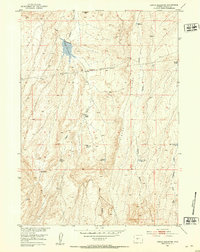
1952 · Rongis Reservoir
USGS Topo · 1:24,000
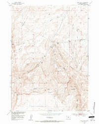
1953 · Blue Gulch
USGS Topo · 1:24,000
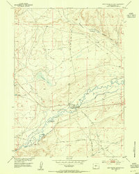
1953 · Sweetwater Station
USGS Topo · 1:24,000
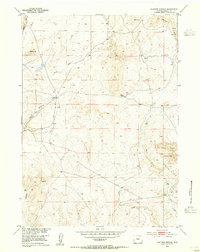
1953 · Elkhorn Springs
USGS Topo · 1:24,000
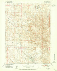
1953 · Sand Draw
USGS Topo · 1:24,000
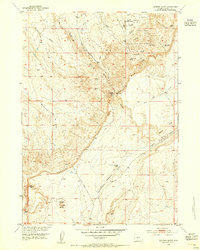
1953 · Dishpan Butte
USGS Topo · 1:24,000

1955 · Lander
USGS Topo · 1:250,000