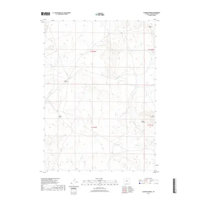
2017 Map of Elkhorn Springs
USGS Topo · Published 2017About this map
Beaver Rim and the northern reaches of the Granite Mountains define this high-altitude landscape in Fremont County. The terrain is marked by significant elevation changes, particularly around Long Creek Mtn and the various drainage basins like Cedar Rim Draw and Koehler Draw. Water is a critical resource in this arid environment, represented by the namesake Elkhorn Springs, Findlay Lake, and the intermittent flow of the W Fork Long Cr. Settlement is sparse, characterized by long-established livestock operations such as Myers Ranch and Graham Ranch, which serve as the primary human landmarks in this vast expanse of open range. The map illustrates the specialized land-use patterns common to the Wyoming interior, where life and commerce revolve around these scattered water sources and topographical features.
Find a feature on this map
15 named features on this map. Tap any name to fly to it.
Don’t see what you’re looking for? This feature index may not catch every label — zoom into the map to look around manually.
Map Details
Editions of this 2017 Elkhorn Springs Map
This is the sole edition of this map. No revisions or reprints were ever made.
Other maps of this area
1951 · Graham Ranch
USGS Topo · 1:24,000
1951 · Myers Ranch
USGS Topo · 1:24,000
1952 · Tin Cup Mountain
USGS Topo · 1:24,000
1952 · Rongis Reservoir
USGS Topo · 1:24,000
1953 · Blue Gulch
USGS Topo · 1:24,000
1953 · Sweetwater Station
USGS Topo · 1:24,000
1953 · Elkhorn Springs
USGS Topo · 1:24,000
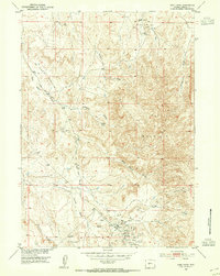
1953 · Sand Draw
USGS Topo · 1:24,000
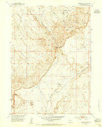
1953 · Dishpan Butte
USGS Topo · 1:24,000

1955 · Lander
USGS Topo · 1:250,000