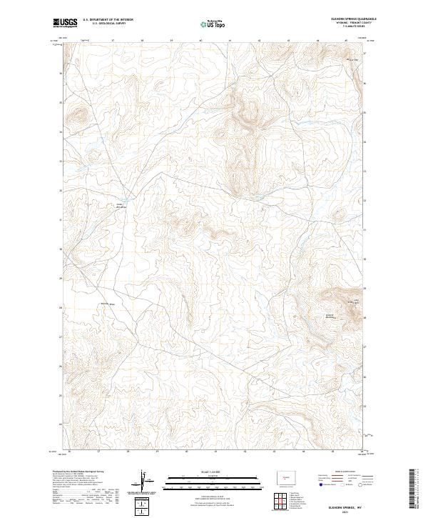
2021 Map of Elkhorn Springs
USGS Topo · Published 2021About this map
Beaver Rim and the northern reaches of the Granite Mountains define this high-elevation landscape in Fremont County, showing the intricate drainage patterns that feed into the Sweetwater River system. The 2021 survey illustrates a terrain of significant vertical relief, where landforms like Long Creek Mtn rise above deep incisions like Koehler Draw and Cedar Rim Draw. Water sources are critical and distinct in this arid environment, evidenced by the eponymous Elkhorn Springs and the small catchment of Findlay Lake. The hydrology is primarily characterized by the seasonal flow of Long Cr and its W Fork Long Cr, which have carved out the varied topography seen across the quadrangle. This map provides a modern record of the public land survey system and topographic character of a region essential to understanding Wyoming’s high desert and mountain transitions.
Find a feature on this map
13 named features on this map. Tap any name to fly to it.
Don’t see what you’re looking for? This feature index may not catch every label — zoom into the map to look around manually.
Map Details
Editions of this 2021 Elkhorn Springs Map
This is the sole edition of this map. No revisions or reprints were ever made.
Other maps of this area

1951 · Graham Ranch
USGS Topo · 1:24,000

1951 · Myers Ranch
USGS Topo · 1:24,000

1952 · Tin Cup Mountain
USGS Topo · 1:24,000

1952 · Rongis Reservoir
USGS Topo · 1:24,000

1953 · Blue Gulch
USGS Topo · 1:24,000

1953 · Sweetwater Station
USGS Topo · 1:24,000

1953 · Elkhorn Springs
USGS Topo · 1:24,000

1953 · Sand Draw
USGS Topo · 1:24,000

1953 · Dishpan Butte
USGS Topo · 1:24,000

1955 · Lander
USGS Topo · 1:250,000