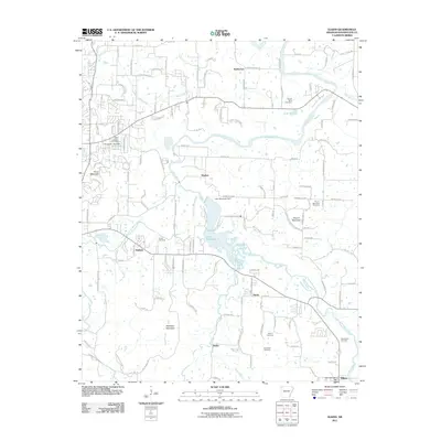
2011 Map of Elkins
USGS Topo · Published 2011About this map
Lake Sequoyah and its prominent dam dominate the central landscape of this Washington County survey, where the White River meets its major tributaries. The settlement of Elkins serves as a local hub in the southeast, situated near the confluence of the Middle Fork White River and the main river channel. This area is defined by a series of significant elevations, including Pierce Mountain, Round Mountain, and Robinson Mountain, which overlook a network of rural communities like Harris, Strain, and Baldwin. Genealogists will find a high concentration of burial sites throughout the valley, from the Saint Joseph Cemetery in the northwest to the Stokenbury Cemetery near Elkins. The map traces the winding paths of Mud Creek and Mill Branch, illustrating the complex water drainage system that sustained these upland Arkansas settlements through the early 21st century.
Find a feature on this map
133 named features on this map. Tap any name to fly to it.
Don’t see what you’re looking for? This feature index may not catch every label — zoom into the map to look around manually.
Map Details
Editions of this 2011 Elkins Map
This is the sole edition of this map. No revisions or reprints were ever made.
Other maps of this area

1898 · Winslow
USGS Topo · 1:125,000

1899 · Fayetteville
USGS Topo · 1:125,000

1900 · Eureka Springs
USGS Topo · 1:125,000

1901 · Winslow
USGS Topo · 1:125,000

1901 · Eureka Springs
USGS Topo · 1:125,000

1901 · Fayetteville
USGS Topo · 1:125,000

1904 · Fayetteville
USGS Topo · 1:125,000

1943 · St. Paul
USGS Topo · 1:62,500

1945 · Harrison
USGS Topo · 1:250,000

1946 · St. Paul
USGS Topo · 1:62,500